The Weikert Lane from United States Avenue to the Wheatfield Road Part 3
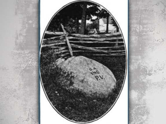
The characters on the Acheson Rock near the John T. Weikert House, are considered to be one of the earliest rock carvings, if not the earliest rock carving on the Gettysburg Battlefield. The letters are D. A. for Captain David Acheson of the 140th Pennsylvania Volunteer Infantry. The letters P.V. represent "Pennsylvania Volunteers." The carving "D A" was made to mark the burial location of his body a couple of days after he was killed on July 2, 1863. This view from the History of the One Hundred and Fortieth Pennsylvania Volunteers was taken facing southeast circa 1912.
The Weikert Farm Lane has now been opened between the George Weikert Farm at the junction of Sedgwick Avenue and United States Avenue and the John Weikert Farm near the Wheatfield Road.
In our first Weikert Lane post we showed you the path from the George Weikert Farm to the horse trail that leads to the Abraham Trostle Farm.
In our second Weikert Lane post we continued southward on the Weikert Farm Lane from the Trostle Horse Trail through the John T. Weikert farmyard and finally to the Wheatfield Road.
In today's Weikert Lane post we retrace our steps back to the John T. Weikert House and show how to walk to the Acheson Rock, which contains one of the earliest rock carvings on the Gettysburg Battlefield.

The red line shows the general route of the Weikert Lane. The yellow line shows where we were momentarily distracted by walking down the horse trail towards the Trostle Farm. The blue line shows the general direction to the Captain David Acheson rock. This map was made facing north at approximately 10:00 AM on Sunday, November 7, 2010.

Captain David Acheson was a college student at western Pennsylvania's Washington College (class of 1863) when he and a couple of friends chose to leave the school and recruit what would become Company C of the 140th Pennsylvania Infantry Regiment. He received his commission on August 22, 1862. The 140th Pennsylvania was mustered into service on September 8, 1862. This image was probably taken soon after Acheson entered the service. Notice how he is strongly posing as he prepares to meet the enemy on the field of battle. This image from the History of the One Hundred and Fortieth Pennsylvania Volunteers was taken circa 1862.
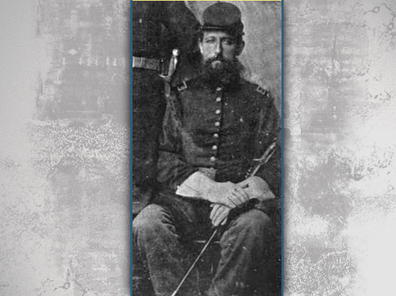
Less than a year after the previous photograph, Acheson and his men had been on campaign, and had seen some fighting such as Chancellorsville. In this detail from a photograph of some 140th Pennsylvania officers, notice that David Acheson has now grown a beard, is a little thinner, and possibly appears a little more tired than in the previous photograph. This image from the History of the One Hundred and Fortieth Pennsylvania Volunteers was taken circa 1863.

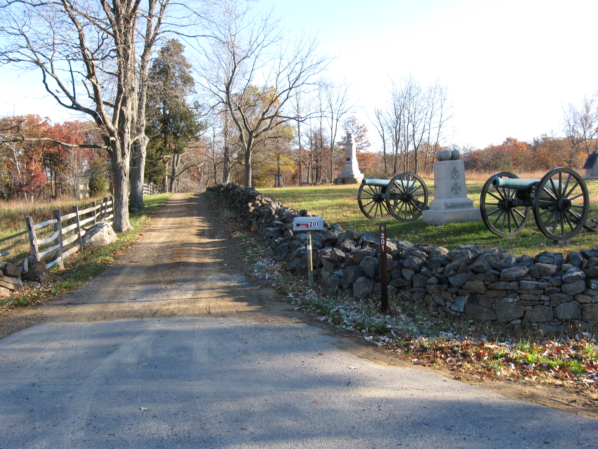
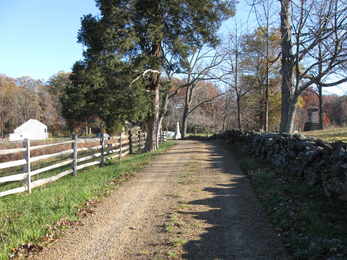
To get to the Acheson Rock, we need to retrace our steps along the Weikert Lane. The monument and cannon mark the position of the 3rd Massachusetts Artillery. In the background, to the left of the cannon, is the monument to the 93rd Pennsylvania Infantry Regiment. Above the right cannon is the marker for Wheaton's Brigade. This view was taken facing northeast at approximately 8:45 AM on Sunday, November 7, 2010.

On July 2, 1863, the 140th Pennsylvania Infantry Regiment fought in the Wheatfield and the Stoney Hill area which are out of sight on the left. The monument to the 93rd Pennsylvania Infantry Regiment is on the right. This view was taken facing southwest at approximately 8:45 AM on Sunday, November 7, 2010.
At the Stoney Hill, Company C of the 140th Pennsylvania, Captain Acheson's Company, was the right company of the regiment. They were outflanked on the right at this location and began to suffer casualties. There were 38 men present in Company C before the battle. 32 would become casualties including seven killed, 22 wounded, and three missing, and presumed captured. The monument to the 102nd New York is on the right. The monument to the 102nd Pennsylvania is straight ahead. The white John T. Weikert barn is on the left. This view was taken facing northeast at approximately 8:45 AM on Sunday, November 7, 2010.
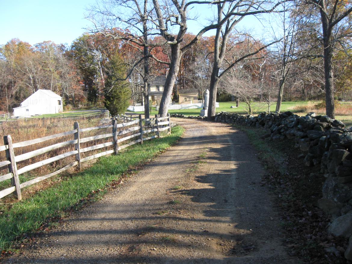
Colonel Richard P. Roberts of the 140th Pennsylvania was killed in front of Company C. It appears that Acheson was preparing his men to charge, but he was losing too many of them. When his First Lieutenant, and close friend, Isaac Vance, was severely wounded in the arm, Acheson began to cry. The John T. Weikert House and barn are visible behind the monument to the 102nd Pennsylvania. This view was taken facing northeast at approximately 8:45 AM on Sunday, November 7, 2010.

Captain David Acheson was wounded in his chest soon after Lieutenant Vance was wounded. As Acheson was being carried from the field, he was hit again. The Washington Reporter, a newspaper from Acheson's hometown, reported on July 15, 1863 that either of the wounds could have been mortal. This view was taken facing northeast at approximately 8:45 AM on Sunday, November 7, 2010.

Captain Acheson's body was left on the field near the Stoney Hill, and could not be recovered for a couple of days, although some attempts were made. We are going between the house and barn. This view was taken facing northeast at approximately 8:45 AM on Sunday, November 7, 2010.
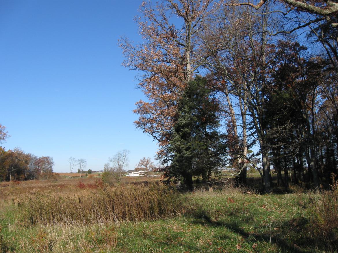
When his body was recovered, probably on Sunday morning, July 5, 1863, it was brought (from left to right) to the area of the woods in the right background, and buried by a stone. The person/group that buried Acheson placed the initials D A by the rock to mark the location. The Abraham Trostle Farm is in the background. This view was taken facing northwest at approximately 8:45 AM on Sunday, November 7, 2010.

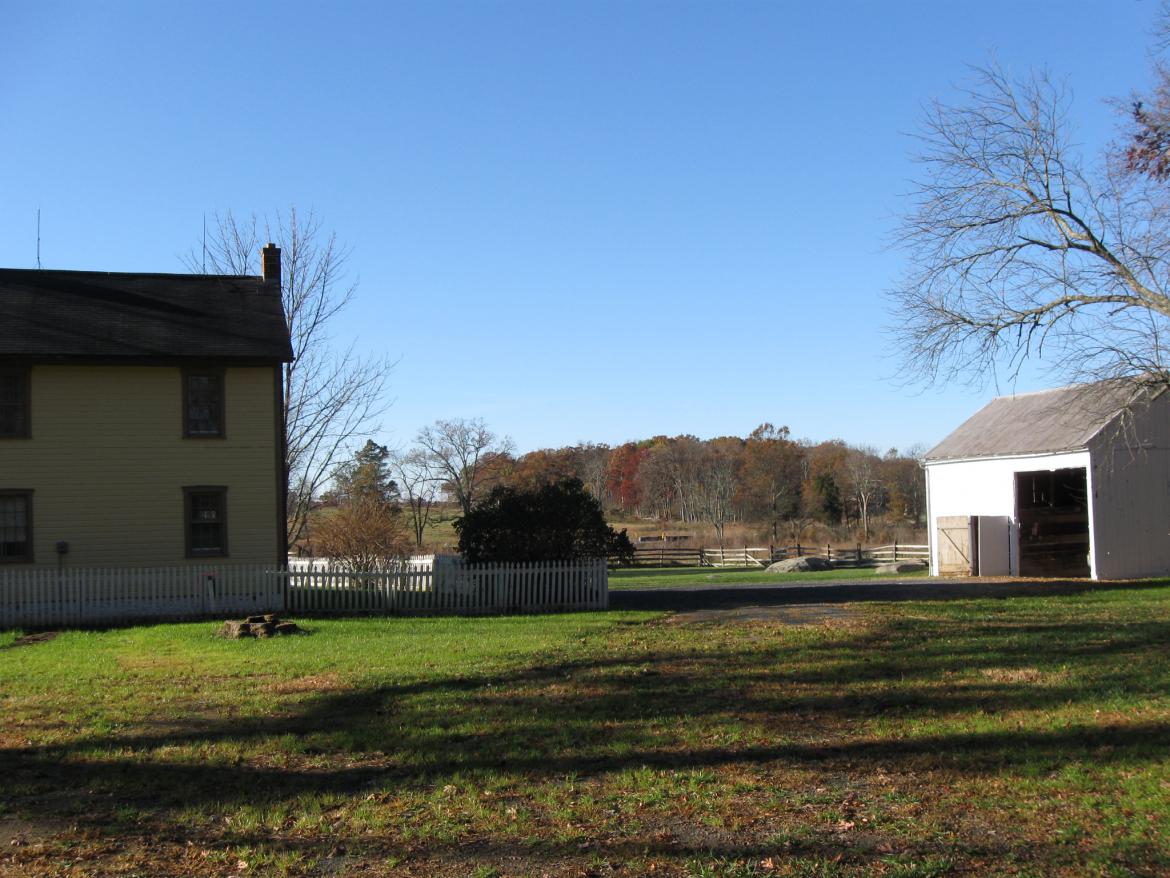
Please remember that the house on the right... This view was taken facing northeast at approximately 8:45 AM on Sunday, November 7, 2010.

...and the barn on the left are not structures that were here during the Battle of Gettysburg. They were constructed circa 1870-1880. This view was taken facing north at approximately 8:45 AM on Sunday, November 7, 2010.

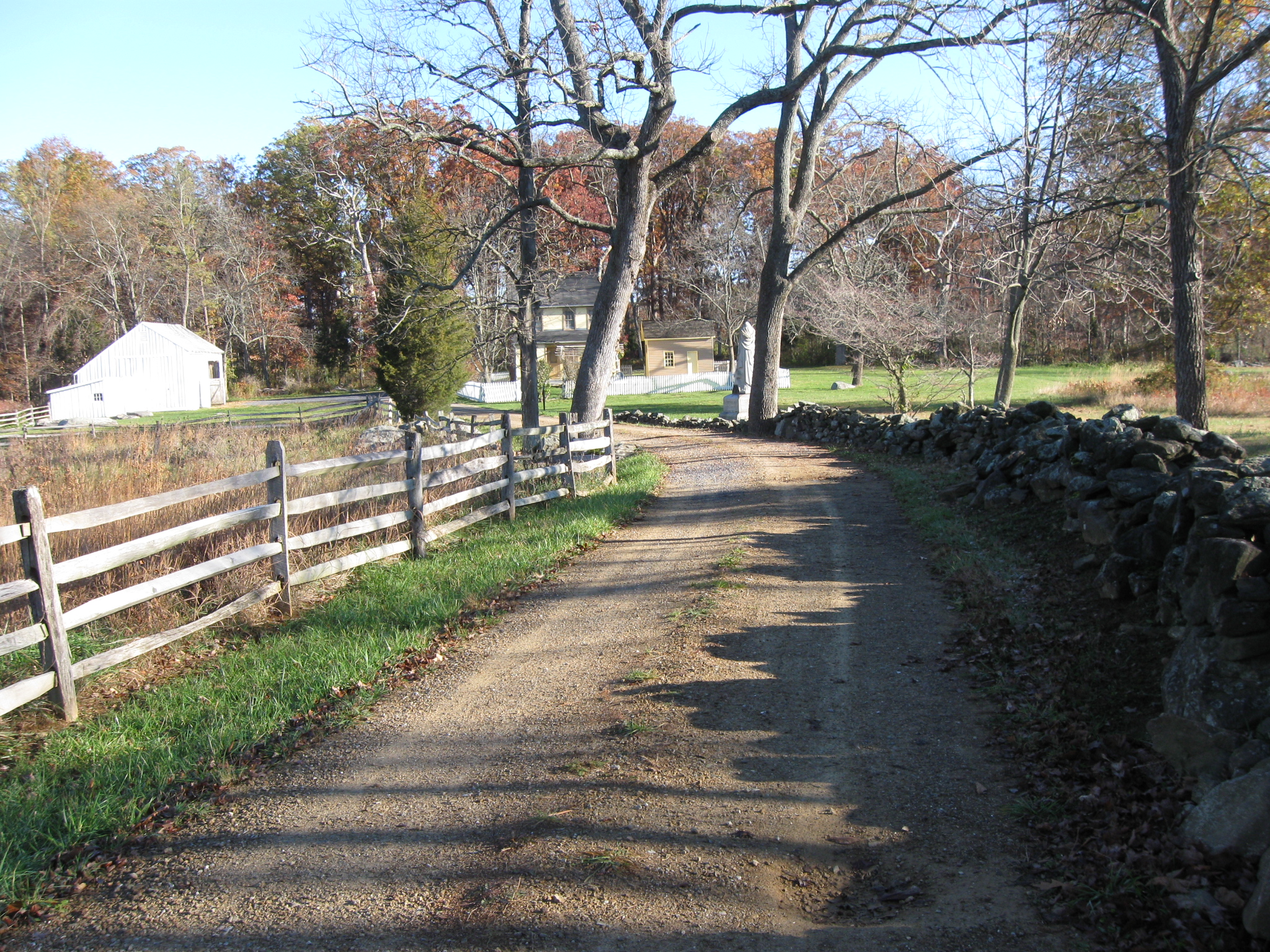
Captain David Acheson's body was recovered from the area near the rock and he was buried in Washington, Pennsylvania on July 15, 1863. The Weikert Lane continues towards the George Weikert House. This view was taken facing northeast at approximately 8:45 AM on Sunday, November 7, 2009.
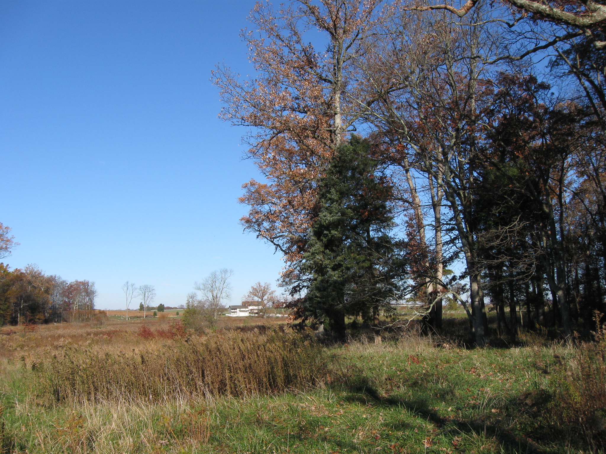
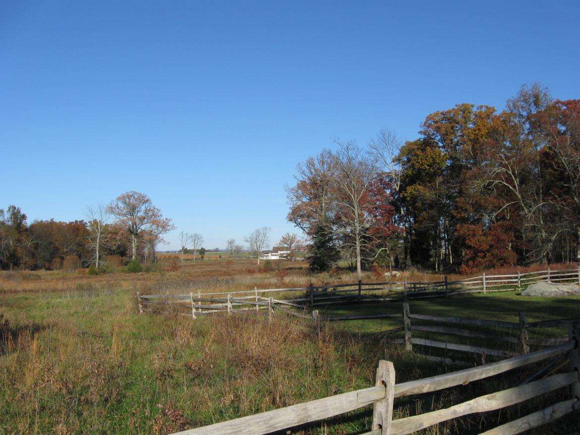
So now we're oriented to find the rock. In the background, between the John T. Weikert house and barn are the woods on Houck's Ridge. Below them one can make out the Wheatfield Road stone bridge that crosses Plum Run. This view was taken facing southwest at approximately 8:45 AM on Sunday, November 7, 2010.

There's a trail here to our right, behind the barn. This view was taken facing northwest at approximately 8:45 AM on Sunday, November 7, 2010.
However, as we start walking down the trail... This view was taken facing southwest at approximately 8:45 AM on Sunday, November 7, 2010.

...we notice that brush is blocking our way. This view was taken facing northwest at approximately 8:45 AM on Sunday, November 7, 2010.

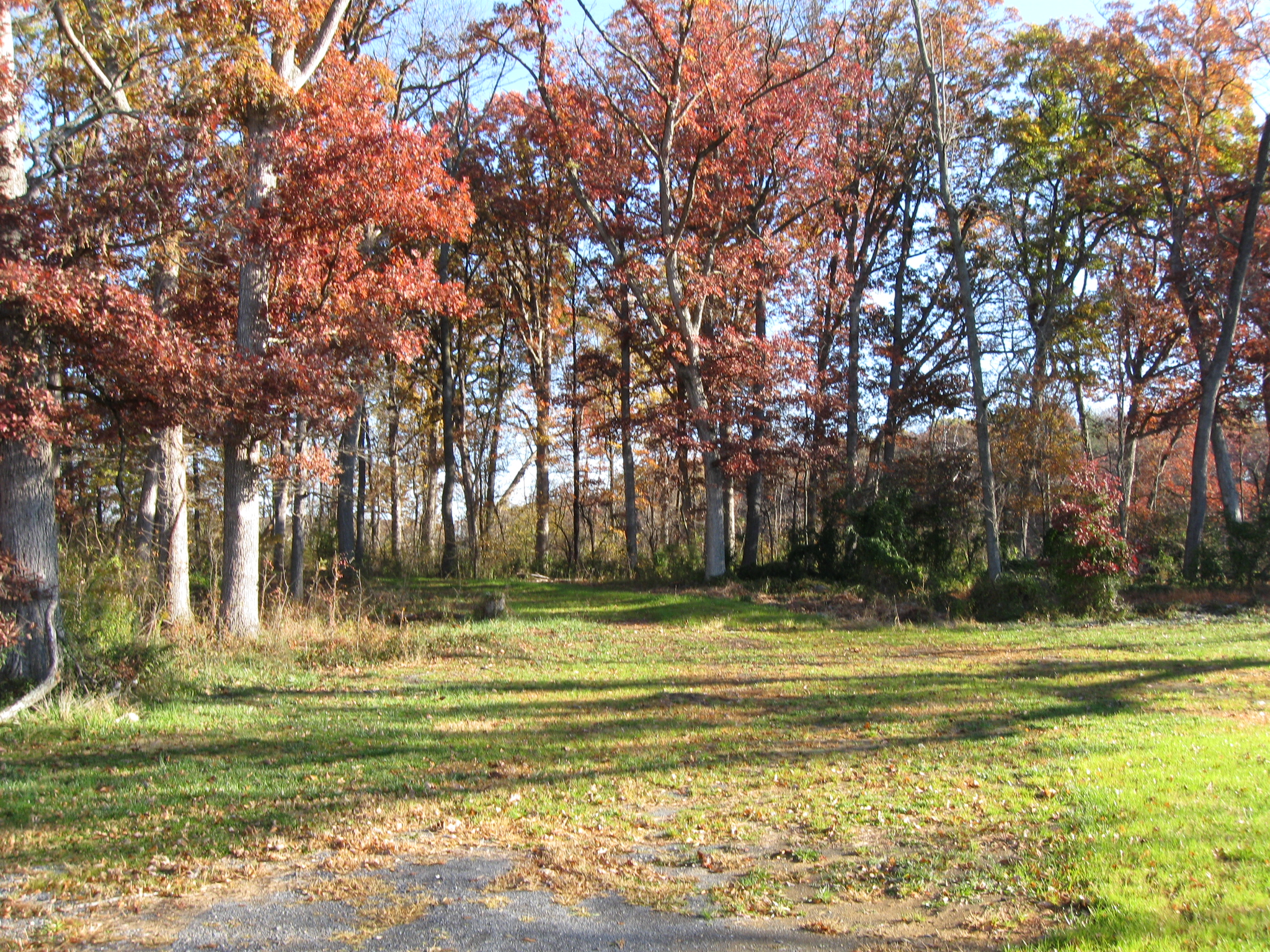
There is a trail going to the left, and out of the woods. We'll take it. The monument to the 6th Pennsylvania Reserves is in the background. This view was taken facing southwest at approximately 8:45 AM on Sunday, November 7, 2010.

The mowed pathway/trail follows the edge of the woods. The monument to the 6th Pennsylvania Reserves is in the background. This view was taken facing southwest at approximately 8:45 AM on Sunday, November 7, 2010.

It goes out in the field by a significantly sized rock/stone. This view was taken facing southwest at approximately 8:45 AM on Sunday, November 7, 2010.

Is this the Acheson rock? This view was taken facing west at approximately 8:45 AM on Sunday, November 7, 2010.

Nope. This view was taken facing east at approximately 8:45 AM on Sunday, November 7, 2010.
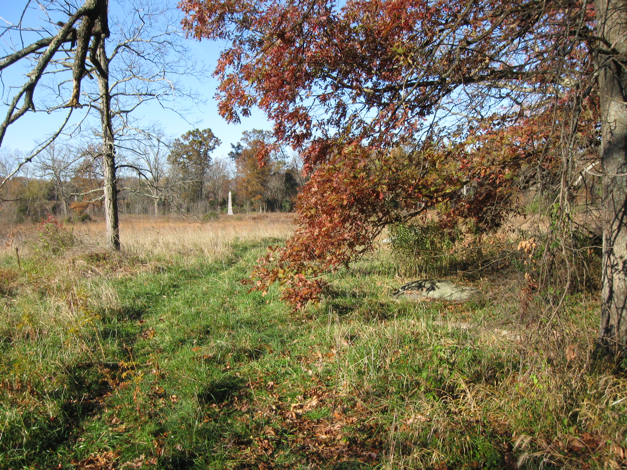
We'll continue to follow the path back towards the woods. The Trostle Farm is in the background. This view was taken facing northwest at approximately 8:45 AM on Sunday, November 7, 2009.

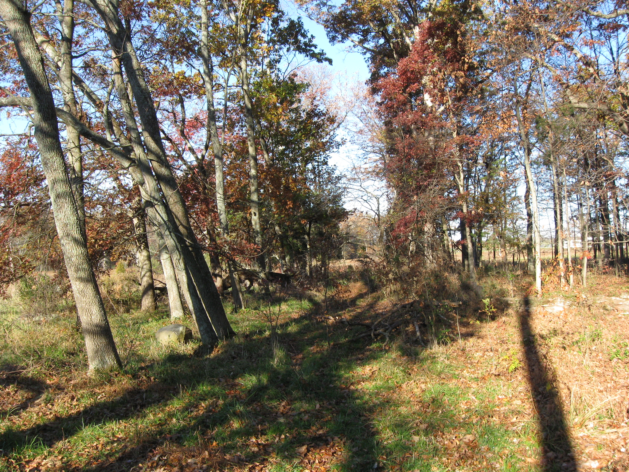
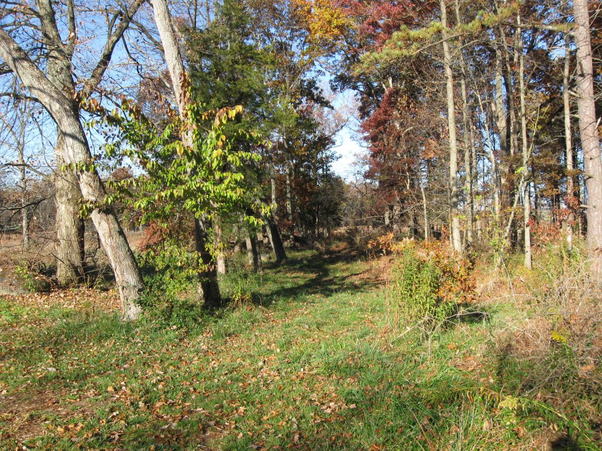
Yes, there is a pathway here. This view was taken facing north at approximately 8:45 AM on Sunday, November 7, 2010.

The path now is not very wide, and is covered with brown leaves. This view was taken facing north at approximately 8:45 AM on Sunday, November 7, 2010.

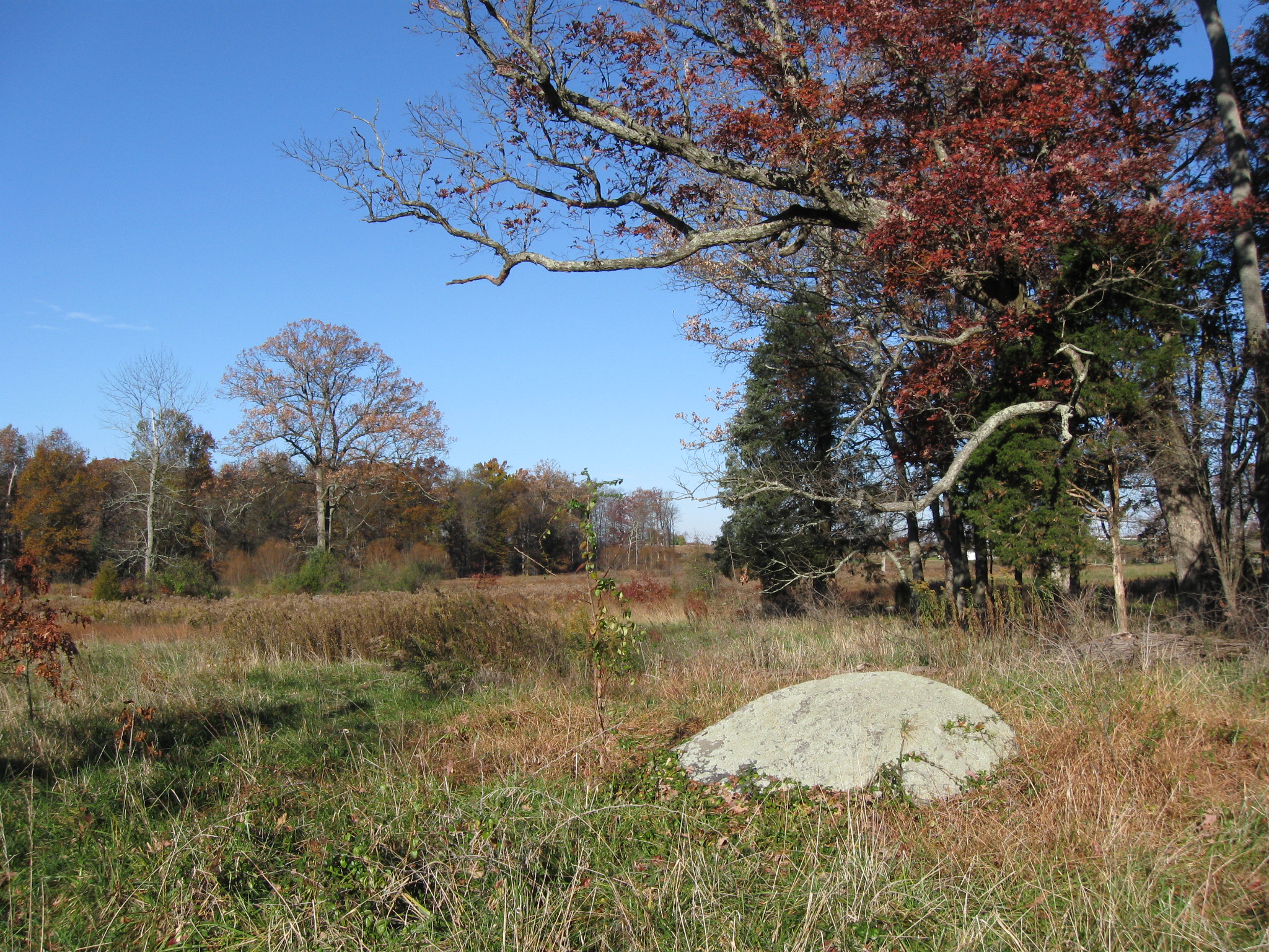
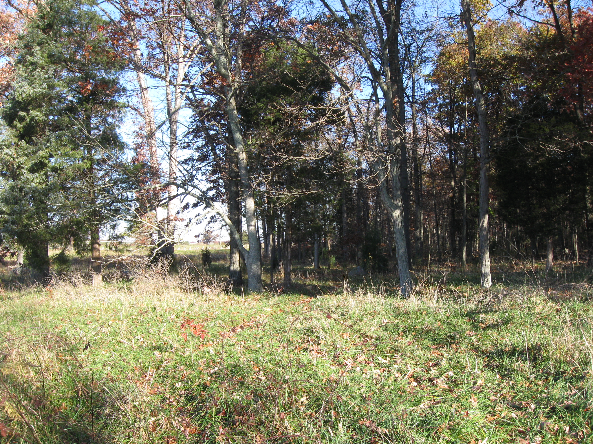
The trail leads us by a rock. This view was taken facing northwest at approximately 8:45 AM on Sunday, November 7, 2010.

Could this be the Acheson Rock? This view was taken facing northeast at approximately 8:45 AM on Sunday, November 7, 2010.

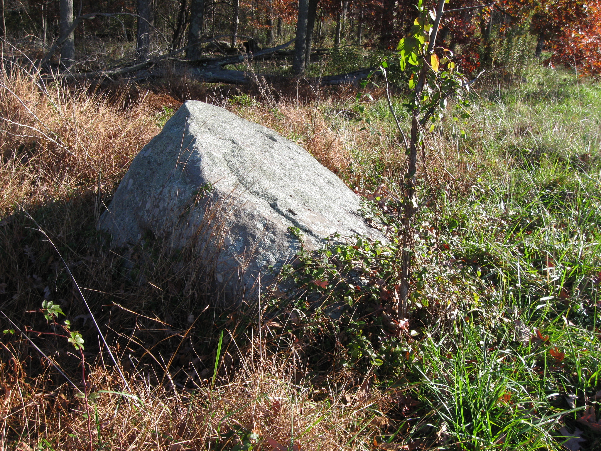
It sure looks like it, and are those the markings on the left part of the rock? This view was taken facing northeast at approximately 8:45 AM on Sunday, November 7, 2010.
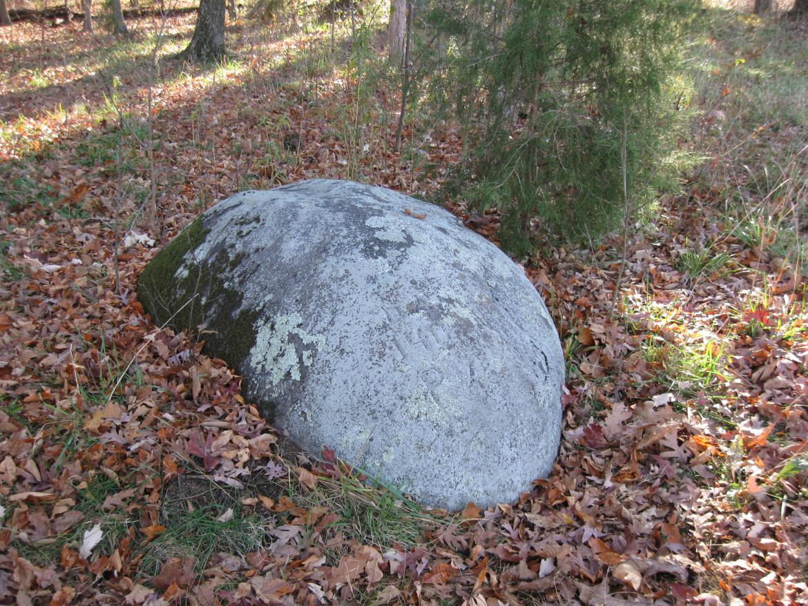
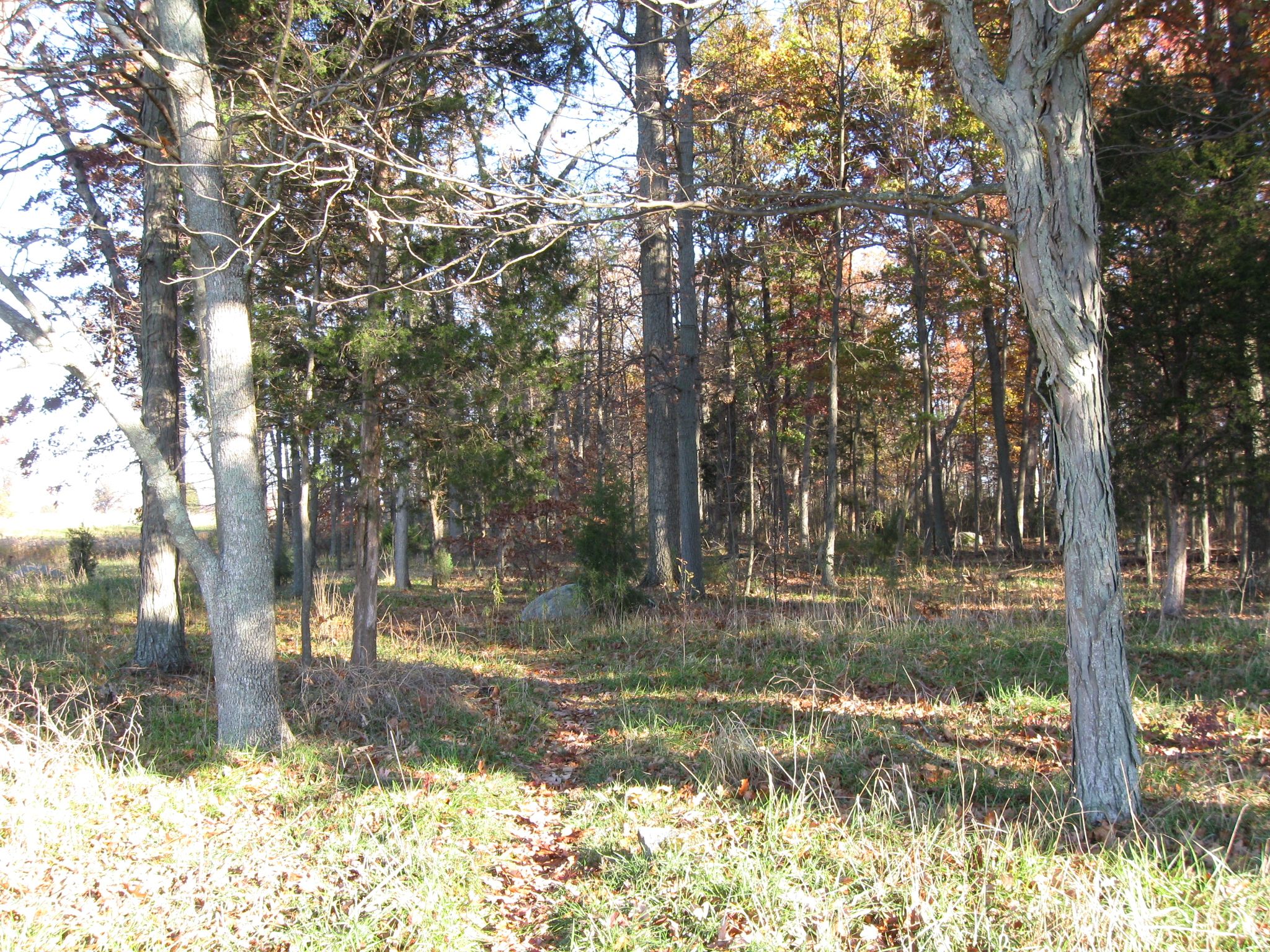
Yes, this is it. There is usually a small flag marking the rock, and earlier this summer there was a large flag here. Both were gone when we visited. And of course the letters and numbers have not been darkened in, which makes it more difficult to find. This view was taken facing northeast at approximately 8:45 AM on Sunday, November 7, 2010.
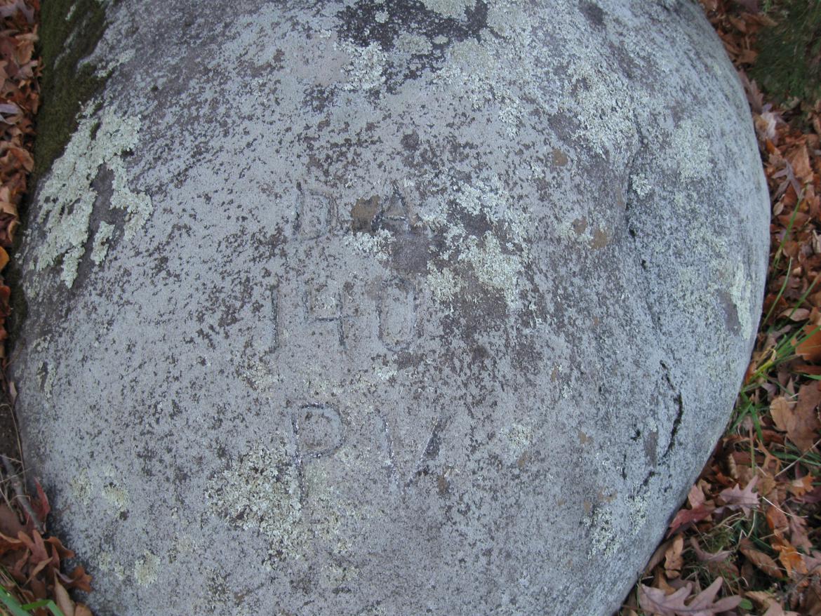
In 1868, a former member fo the 140th Pennsylvania visited this spot and deepened the "D." and the "A." He also added the "140 P.V." This view was taken facing northeast at approximately 8:45 AM on Sunday, November 7, 2010.