Warren Avenue Closed For A While

Warren Avenue, which connects Crawford and Sickles Avenue in Plum Run Valley/Valley of Death to Sykes Avenue on Little Run Top is closed while "shoulder work" is being conducted. This view was taken facing southeast at approximately 8:30 AM on Sunday, November 27, 2011.
Warren Avenue, which connects Plum Run Valley/Valley of Death and Devil's Den to Little Round Top will be closed for the forseeable future while "shoulder work," is being performed. This will mostly affect those who drive buses to Little Round Top.
See the following related posts:
Warren Avenue Possibly One-Way Indefinitely on September 29, 2011
Crawford and Warren Avenue Closed Due to Flooding on April 19, 2011
Gettysburg National Military Park: Then & Now Part 13: LBG Garry Adelman on June 1, 2010
High Tide at Gettysburg: Some Photographs of Plum Run Valley on January 26, 2010
Licensed Battlefield Guide Rich Kohr: Gettysburg' Electric Trolley Part 7 on April 22, 2009
Crawford Avenue Open, Devil's Den Access Closed on August 8, 2008

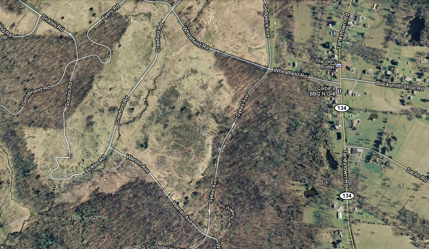
This map shows Warren Avenue and its relationship to the other avenues and roads at the south end of the battlefield. Warren Avenue is near the bottom of the map. This map was created facing north at approximately 11:00 AM on Sunday, November 27, 2011.
Buses that usually travel on the Wheatfield Road, shown here in the foreground, and turn on Crawford Avenue, shown on the right, will not be able to do that for a while. Little Round Top is in the left background. Big Round Top is in the right center background.This view was taken facing southeast at approximately 8:30 AM on Sunday, November 27, 2011.

Many buses usually travel south on Crawford Avenue towards Devil's Den. Warfield Ridge is in the right background. The first monument on the right is to the 6th New Jersey Infantry Regiment. This view was taken facing southwest at approximately 8:30 AM on Sunday, November 27, 2011.

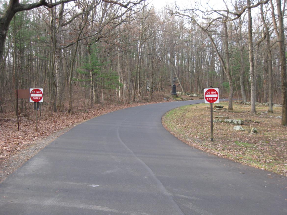
After the stop sign, buses have to take a left onto Warren Avenue. This view was taken facing southwest at approximately 8:30 AM on Sunday, November 27, 2011.

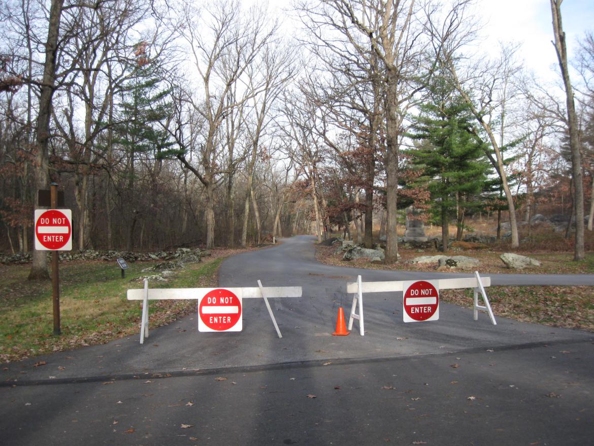
Buses cannot go into the Devil's Den area because they have difficulty negotiating the curves taking vehicles to the top of Houck's Ridge. The sign informing buses and other large vehicles that they cannot continue is to the right of Sickles Avenue. The monument to the 4th Maine Infantry Regiment is in the center background. This view was taken facing northwest at approximately 8:30 AM on Sunday, November 27, 2011.

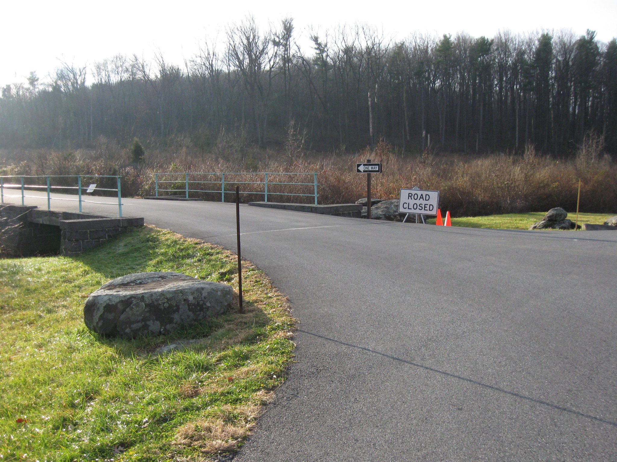
Warren Avenue is closed because water from a big storm last April washed away part of the shoulder of the road. It has since been a one way road leading to the top of the hill. This view was taken facing southeast at approximately 8:30 AM on Sunday, November 27, 2011.
The right or south side of the road is not where the erosion occurred. This view was taken facing southeast at approximately 8:30 AM on Sunday, November 27, 2011.
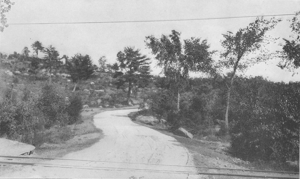
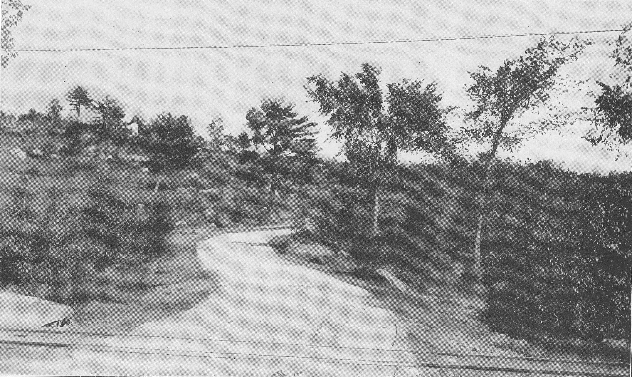
Here's a similar view of this area taken when the Gettysburg Electric Trolley crossed Plum Run Valley. This image was created facing southeast circa 1902. It is found in the Annual Reports of the Gettysburg National Park Commission.

The left or north side of Warren Avenue is where most of the erosion occurred, especially with the water running off Little Round Top towards Plum Run. This view was taken facing southeast at approximately 8:30 AM on Sunday, November 27, 2011.

Some large cement culverts have been brought in to help stabilize the shoulder. The monument in the right background is to the 12th New York/44th New York Infantry Regiments. This view was taken facing east at approximately 9:00 AM on Monday, April 13, 2009.

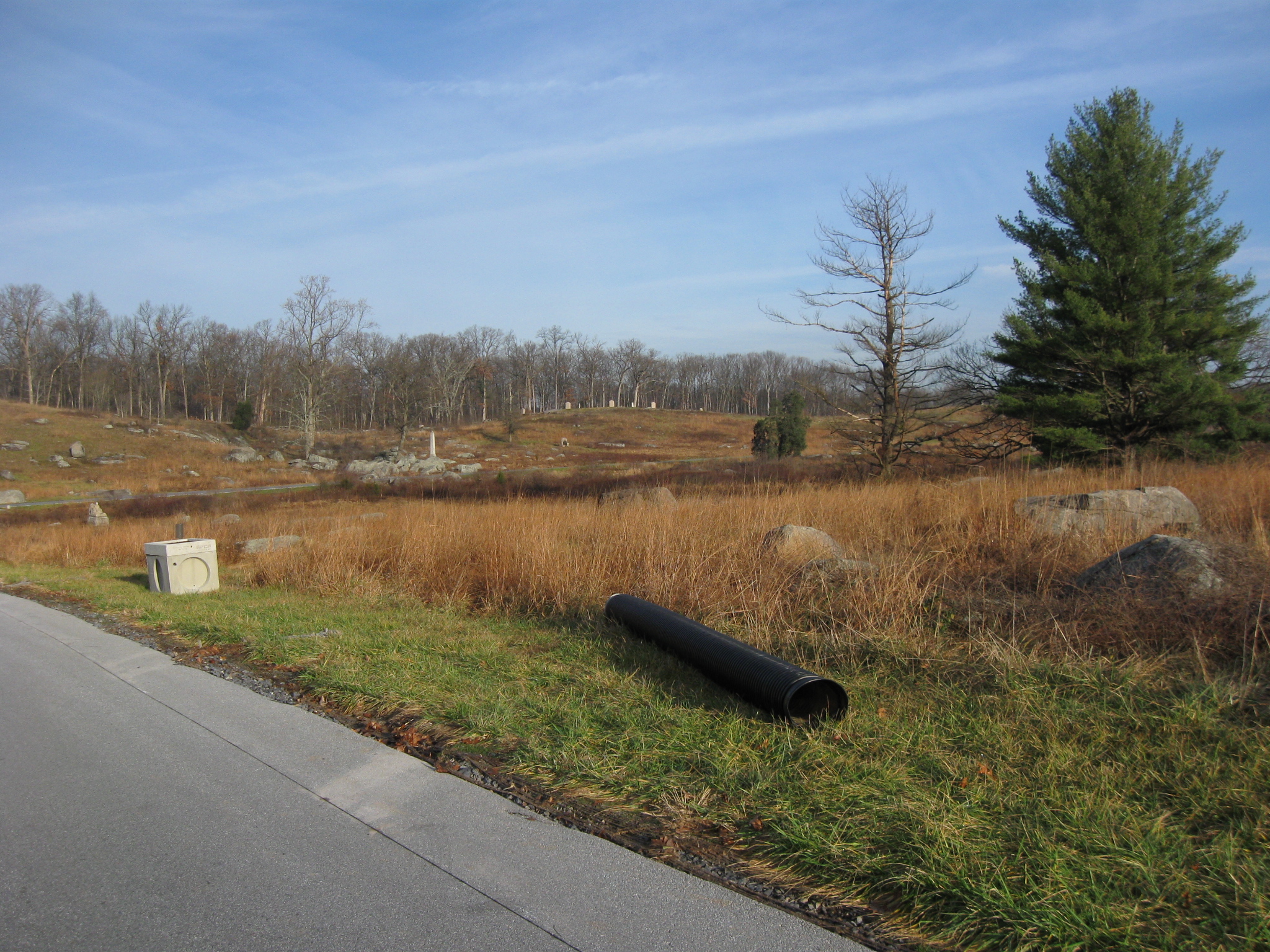
Of course pipe will also be installed. Houck's Ridge is in the background. This view was taken facing north at approximately 8:30 AM on Sunday, November 27, 2011.
We are now looking down Warren Avenue and towards Devil's Den. This view was taken facing west at approximately 8:30 AM on Sunday, November 27, 2011.

Here's one of the pieces of equipment that will be used in digging up the road and the ground near it. It is parked on the north side of Little Round Top. The restrooms/Port O Potties are no longer in the lattice area in the right background. There are no restrooms on the battlefield until the season begins again next year. This view was taken facing northeast at approximately 8:30 AM on Sunday, November 27, 2011.

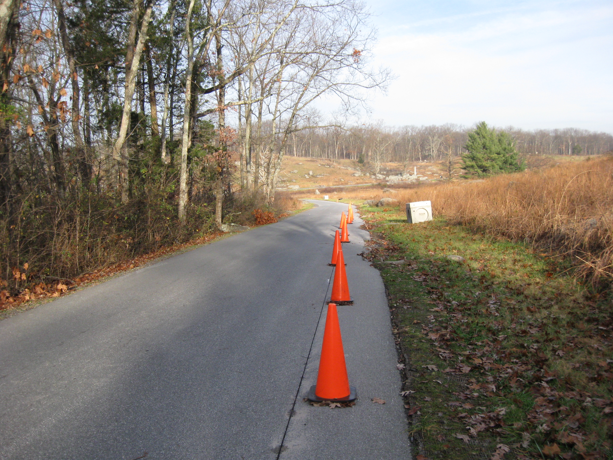
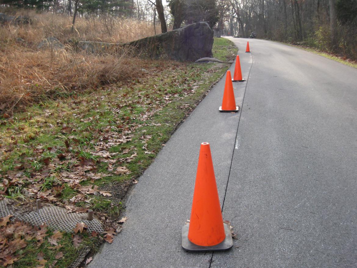
Looking back towards Houck's Ridge. Notice the line in the asphalt near the cones. This is asphalt that has been cut, and gives one an idea of how much of the current avenue shoulder will be removed. This view was taken facing northwest at approximately 8:30 AM on Sunday, November 27, 2011.

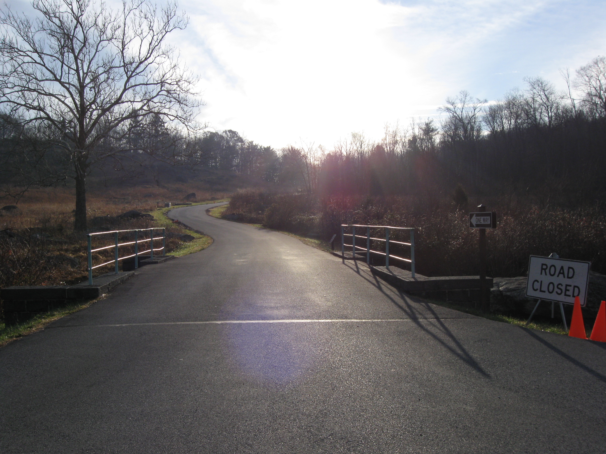
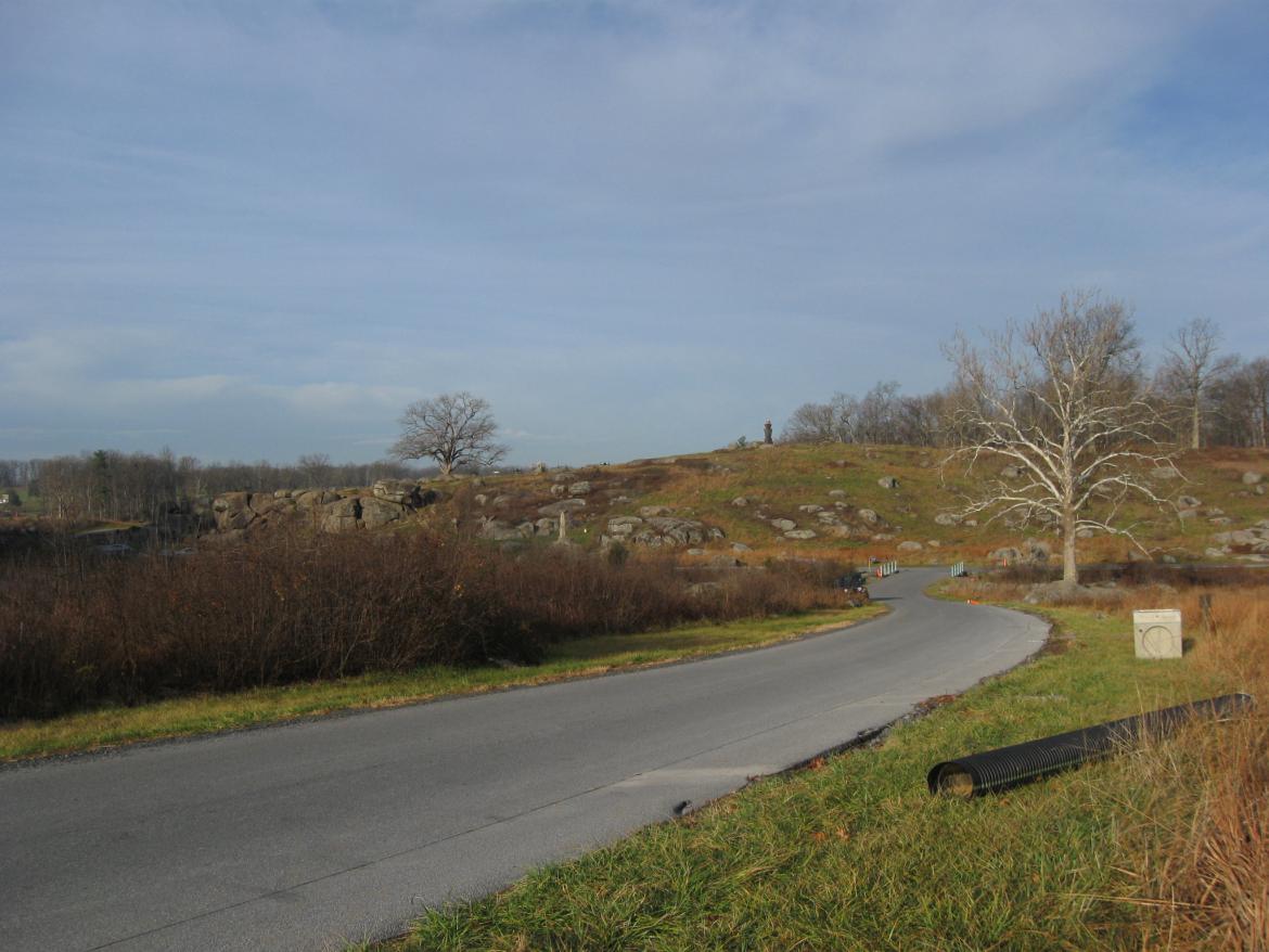
This view gives us a better idea of how much road had been washed away, and why traffic is now one way. This view was taken facing northwest at approximately 8:30 AM on Sunday, November 27, 2011.

Above this cement culvert, is the monument to the 16th Michigan Infantry Regiment. The monument to the 44th New York is in the center background. This view was taken facing east at approximately 8:30 AM on Sunday, November 27, 2011.
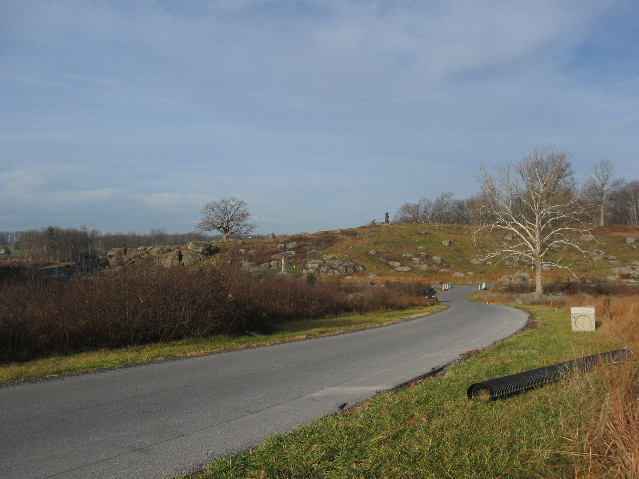
We'll keep walking up the hill. This view was taken facing southeast at approximately 8:30 AM on Sunday, November 27, 2011.

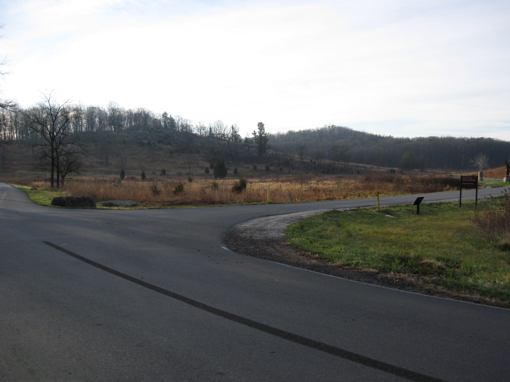
The parking area in this location has not been washed away, and it looks like it will avoid any digging. This view was taken facing southeast at approximately 8:30 AM on Sunday, November 27, 2011.
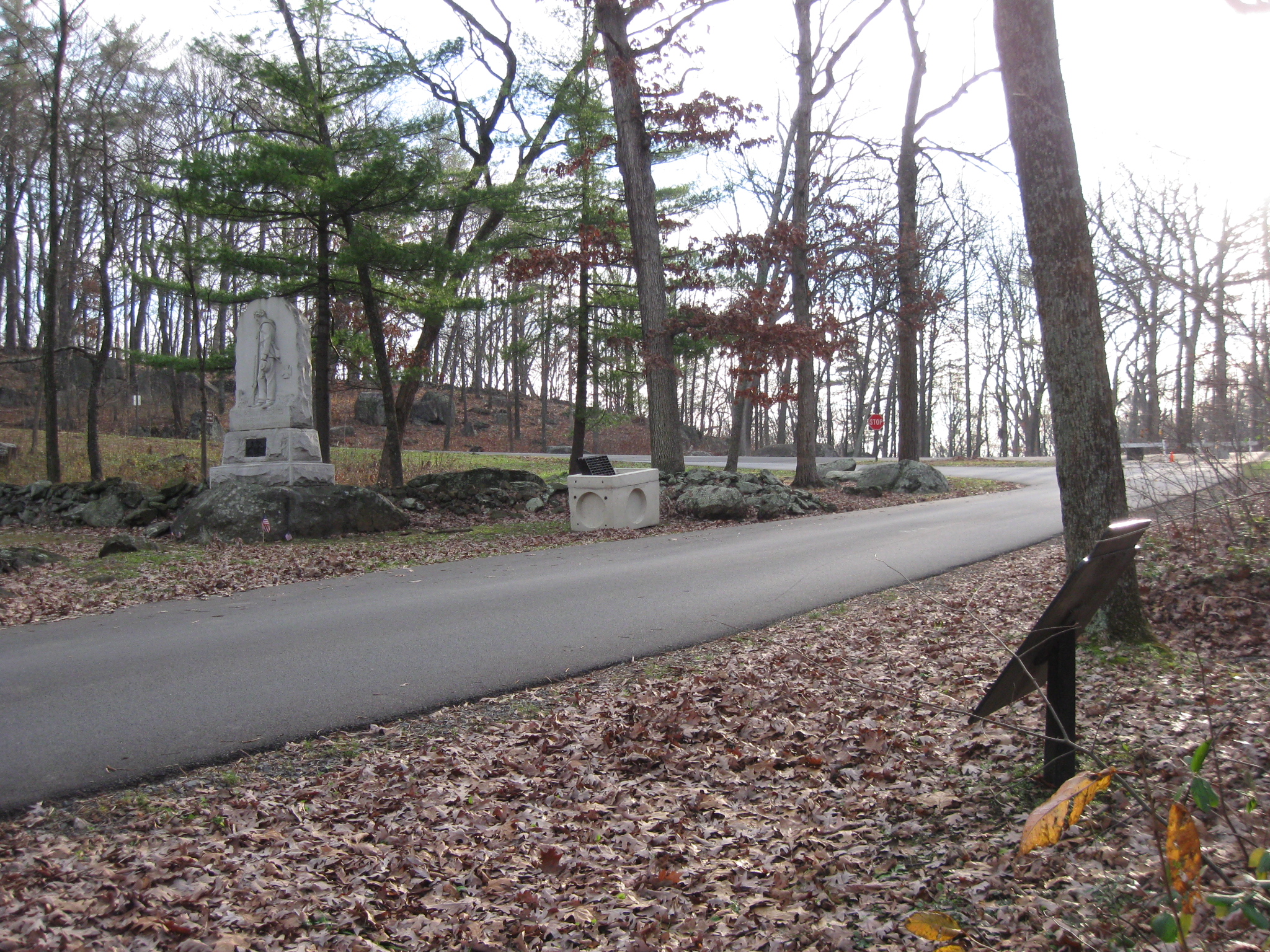
However, when we get closer to the monument of the 9th Pennsylvania Reserves (38th Pennsylvania Infantry Regiment) dedicated in September, 1890, another culvert is waiting to be installed. The marker on the right... This view was taken facing northwest at approximately 8:30 AM on Sunday, November 27, 2011.

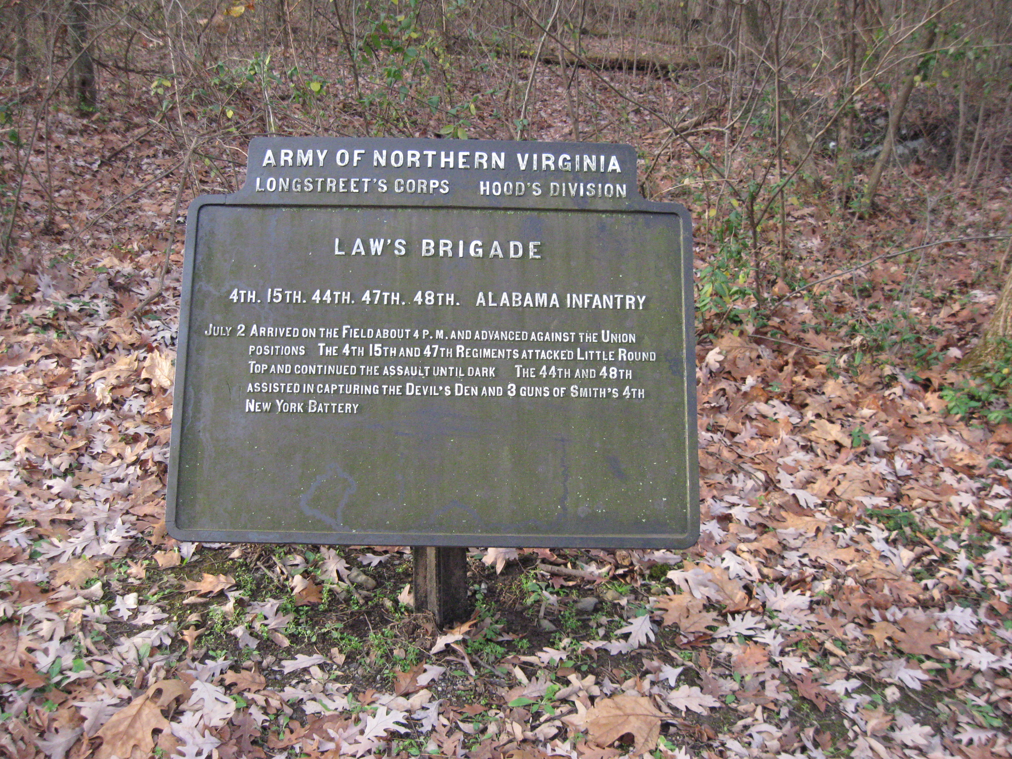
is to Law's Alabama Brigade. It was erected circa 1910-1911. This view was taken facing east at approximately 8:30 AM on Sunday, November 27, 2011.

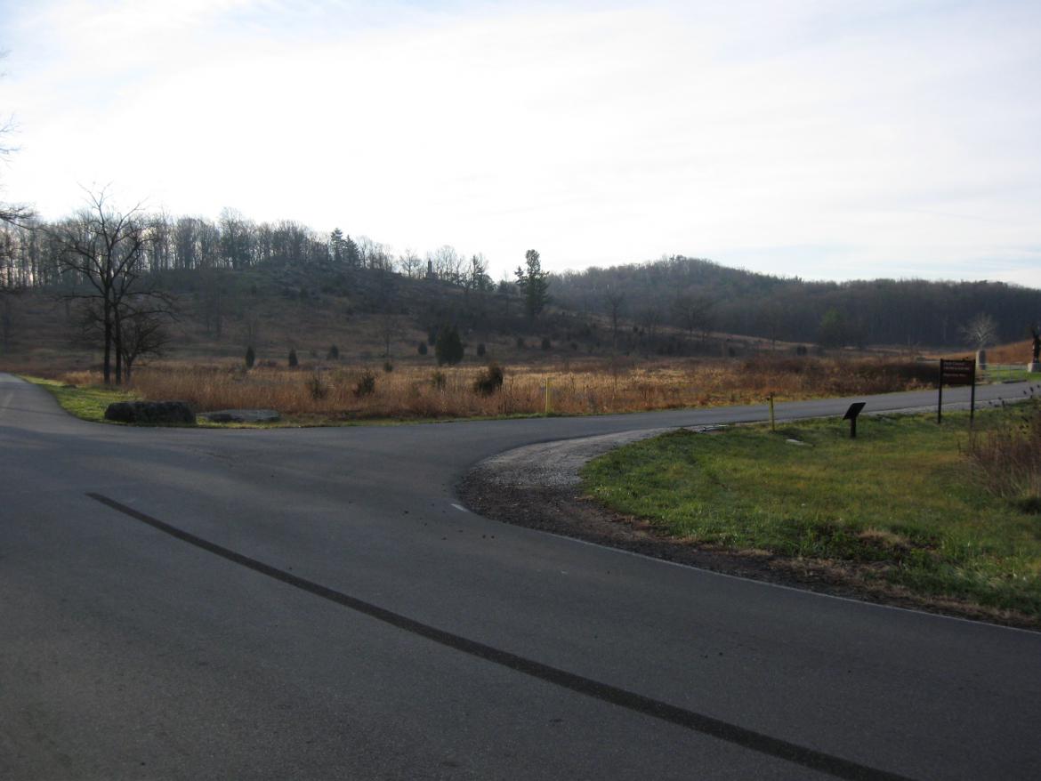
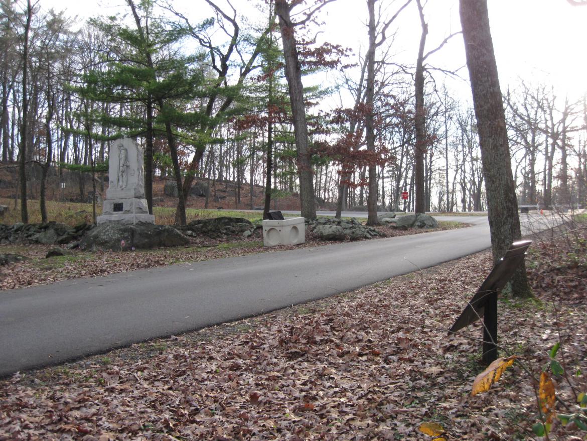
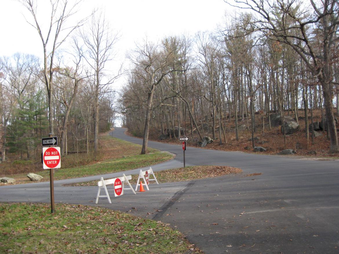
The intersection of Warren Avenue and Wright Avenue (which is on the other side of the stop sign) and South Confederate Avenue on the right and Sykes Avenue on the left. These barricades have been up since last April. This view was taken facing southeast at approximately 8:30 AM on Sunday, November 27, 2011.
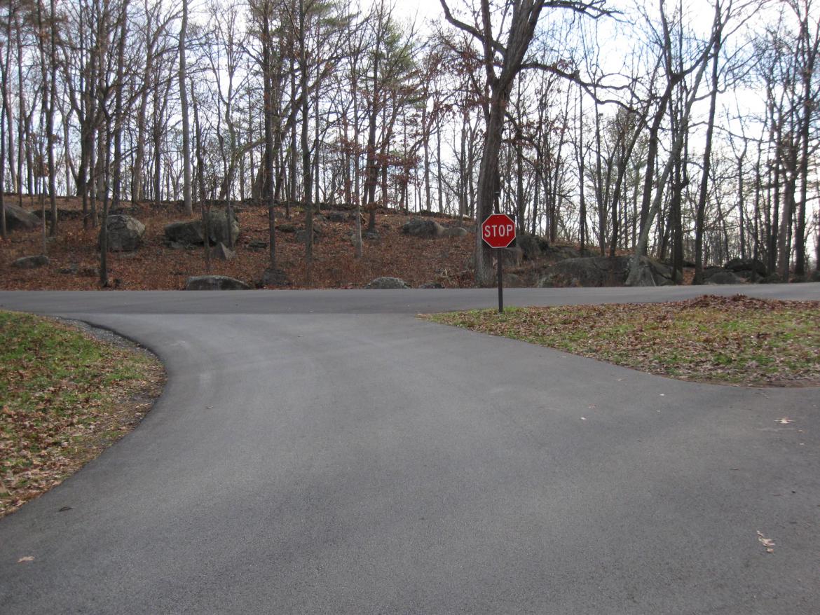
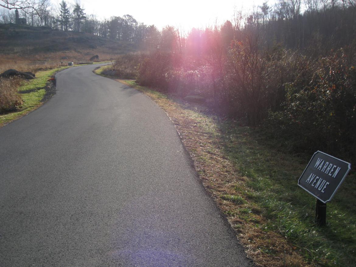
So vehicles take a left on Sykes Avenue after pausing at the stop sign and ponder how Joshua Chamberlain won the American Civil War on Vincent's Spur in the background. This view was taken facing east at approximately 8:30 AM on Sunday, November 27, 2011.
Since the National Park Service will probably decide to have Warren Avenue be one way (with the traffic coming towards the camera) even after it is repaired, it will be interesting to see the landscaping that they will do in this section to close this access to Devil's Den on a permanent basis. This view was taken facing northwest at approximately 8:30 AM on Sunday, November 27, 2011.

Here's how the area looked in 1902. This image was taken facing northwest circa 1902. It is found in the Annual Reports of the Gettysburg National Park Commission..
So for now, vehicles will travel from Big Round Top towards the camera position... This view was taken facing southwest at approximately 8:30 AM on Sunday, November 27, 2011.
... as they travel to the top of Little Round Top. This view was taken facing northeast at approximately 8:30 AM on Sunday, November 27, 2011.


One of the best books on Gettysburg's monuments is this book by Licensed Battlefield Guide Fred Hawthorne. For ordering information,
click here.
This image was copied facing north at approximately 6:00 PM on Sunday, November 27, 2011.