Fence Construction Around the National Park Service Maintenance Area

The National Park Service is constructing a fence around its maintenance area located at the junction of the Taneytown Road and Pleasonton Avenue. This view was taken facing northeast at approximately 1:00 PM on Saturday, December 4, 2010.
The National Park Service is constructing a fence around their maintenance facilities located along the Taneytown Road. National Park Service spokesperson Katie Lawhon informs us that the fence "will serve security purposes and as a visual screen."

In 2008 the National Park Service decided to cut down the trees in Patterson Field, outlined in orange. We are all for the tree removal project, but we do wonder why the trees around the National Park Service Maintenance Area had to be removed. This map was created facing north at approximately 5:00 PM on Sunday, November 9, 2008

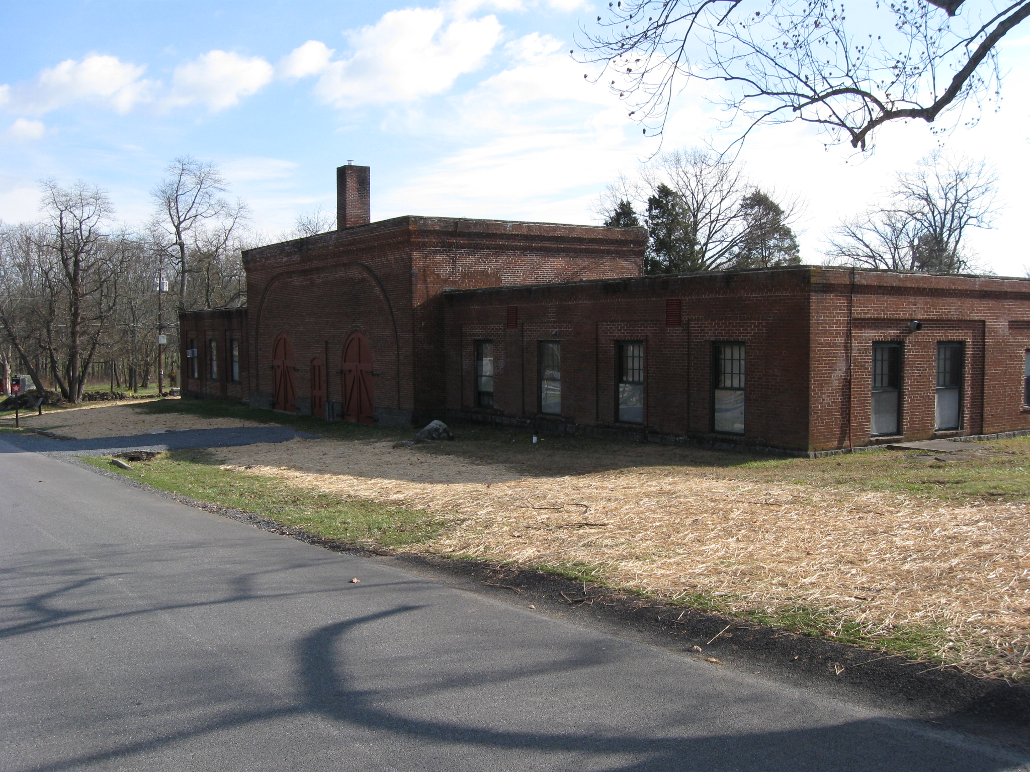
The brick building at the maintenance area is a post-Civil War structure. Pleasonton Avenue is in the foreground. This view was taken facing southeast at approximately 1:00 PM on Saturday, December 4, 2010.

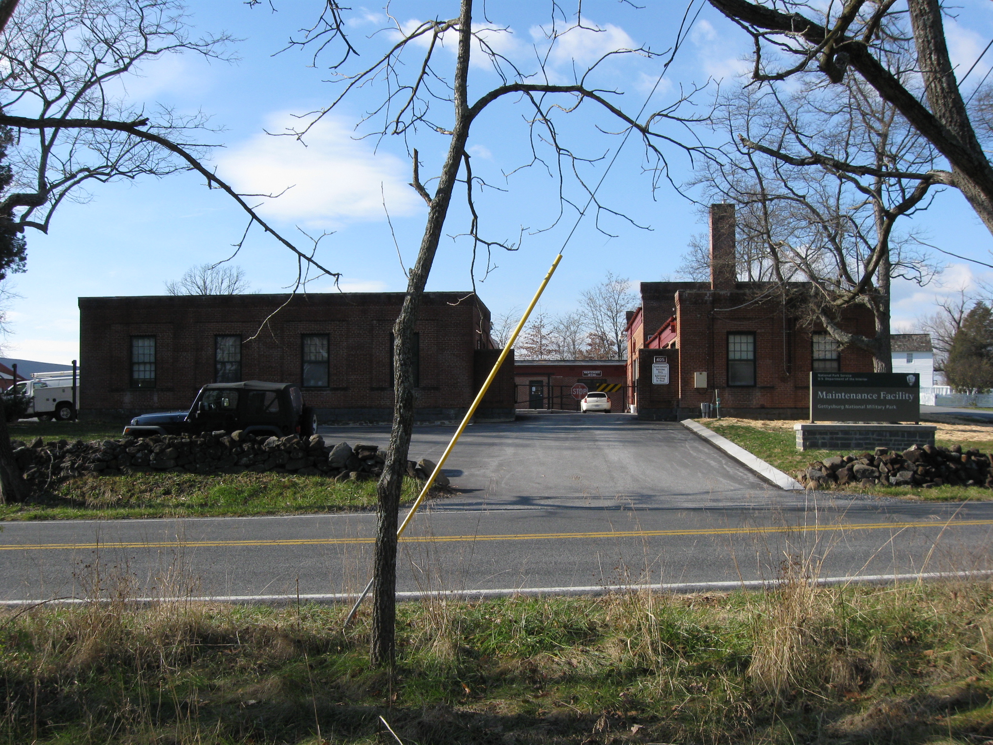
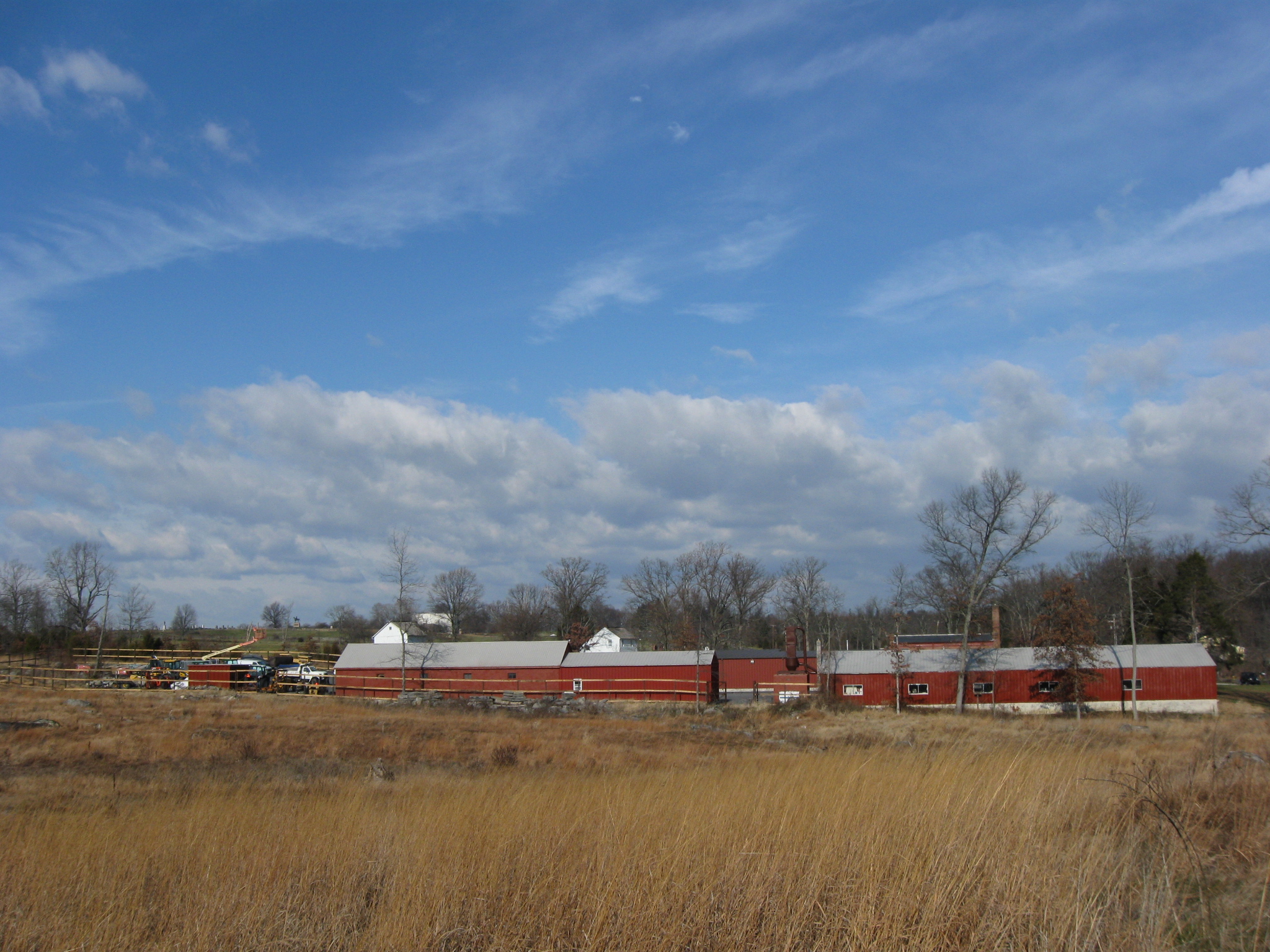
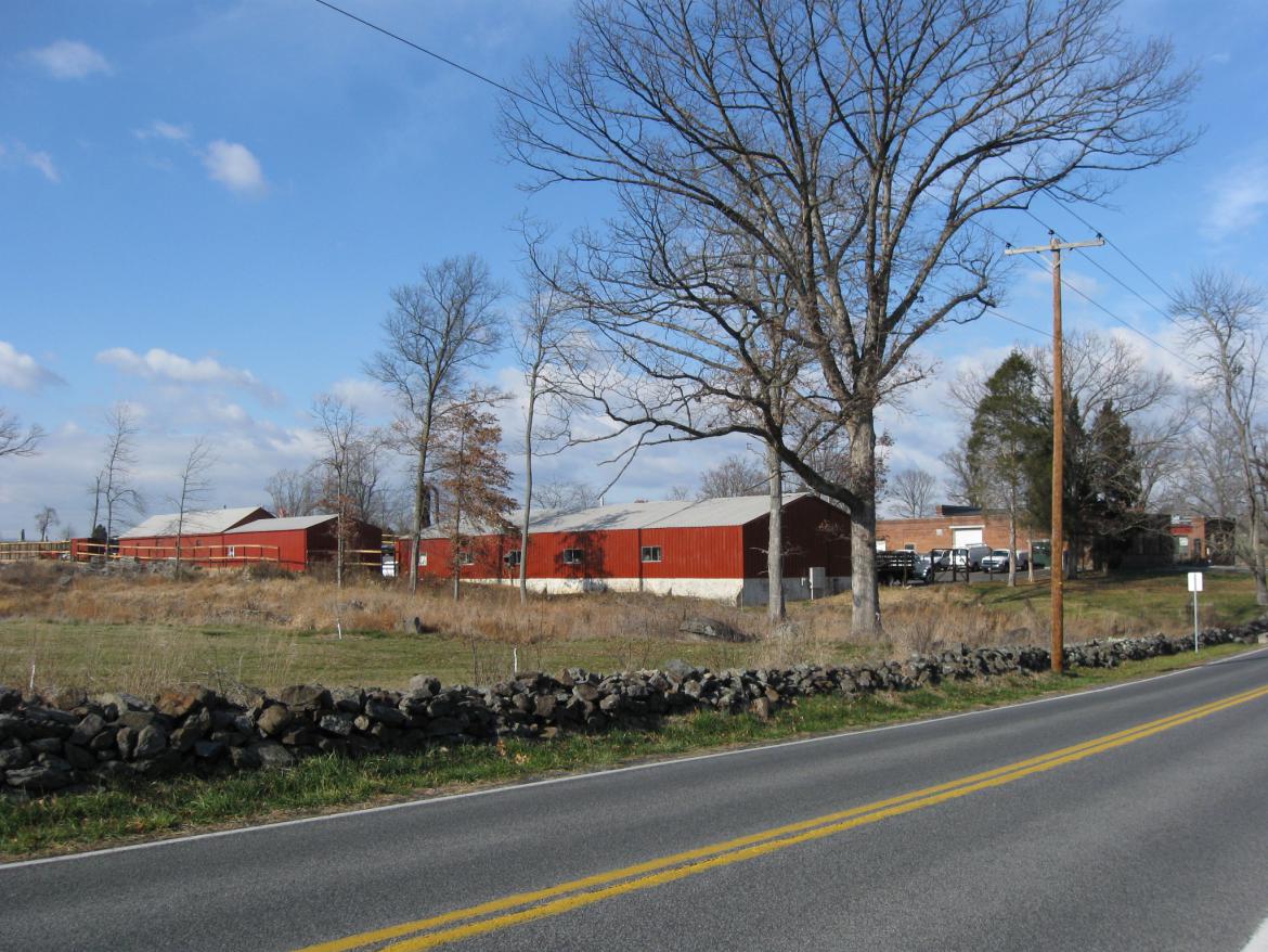
Another view of the brick structures at the maintenance area, but these are not the only buildings at this location. The Taneytown Road is in the foreground. This view was taken facing west at approximately 1:00 PM on Saturday, December 4, 2010.

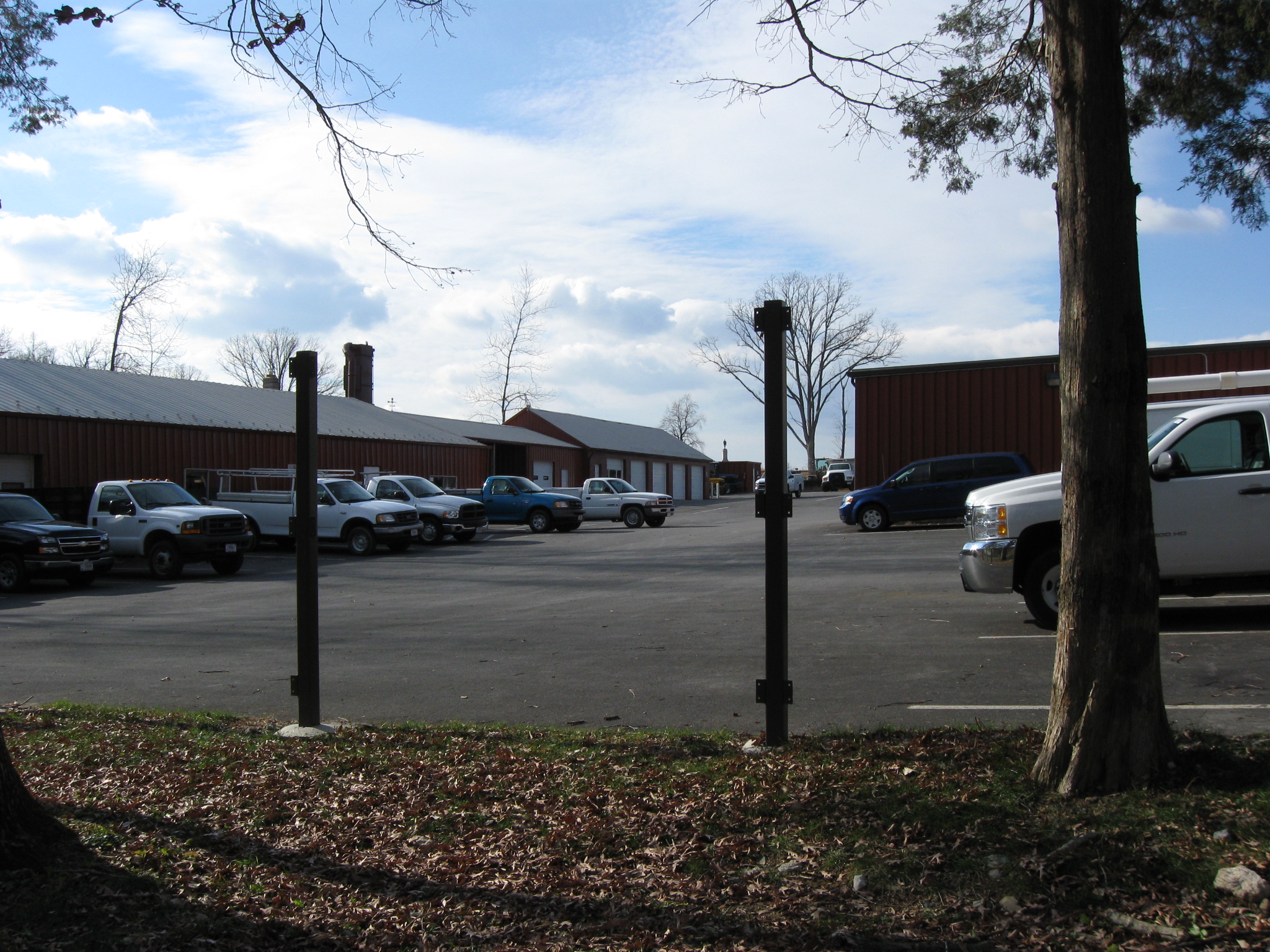
Other buildings are in the maintenance compound. This view was taken facing southwest at approximately 1:00 PM on Saturday, December 4, 2010.

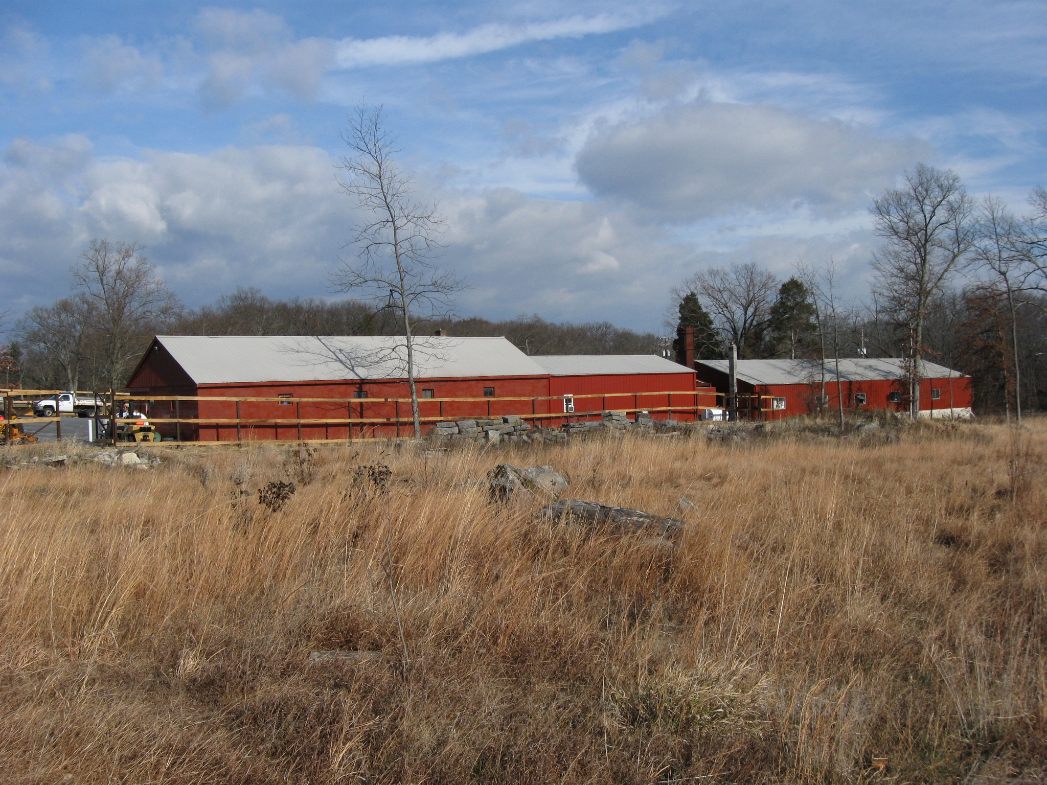
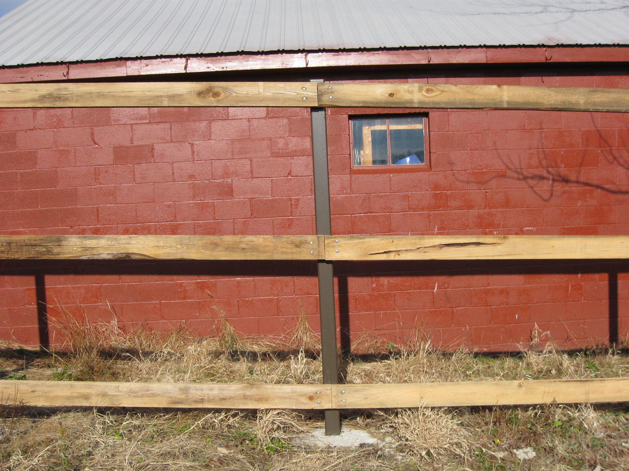
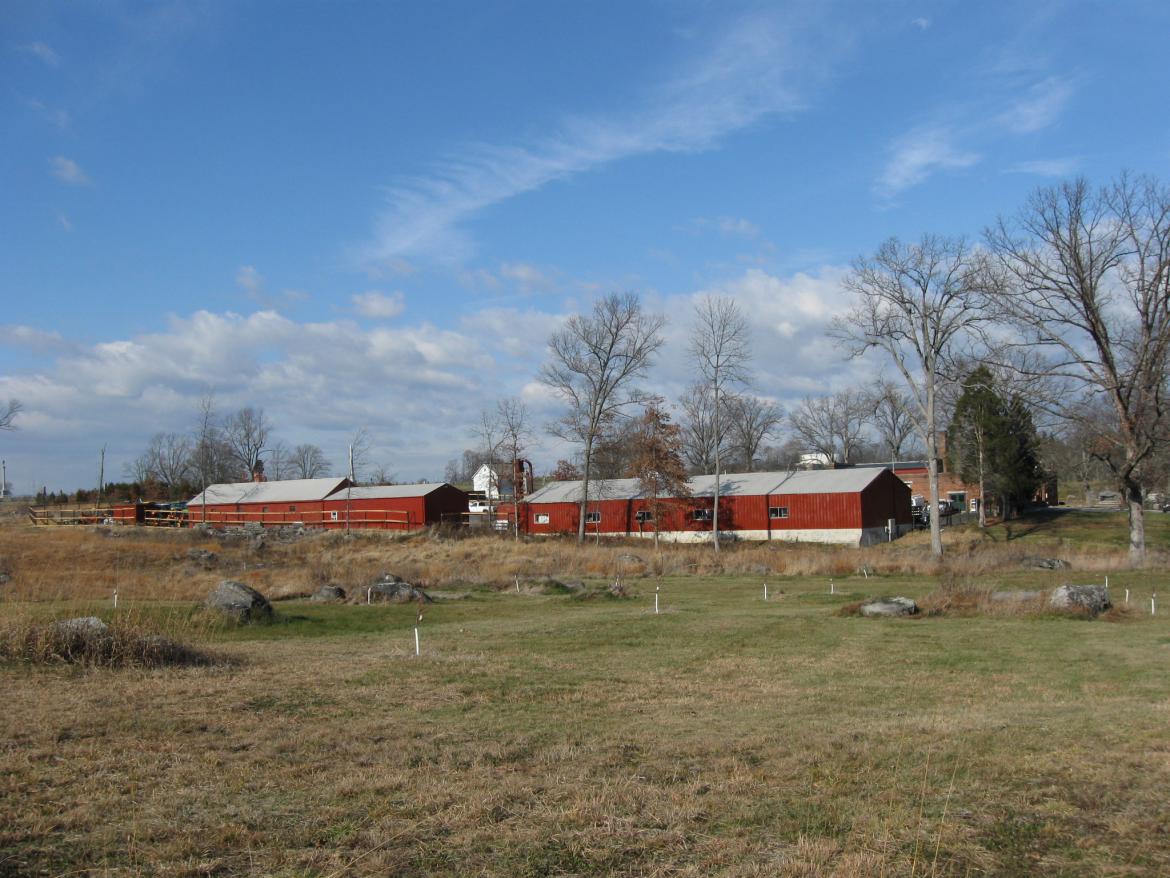
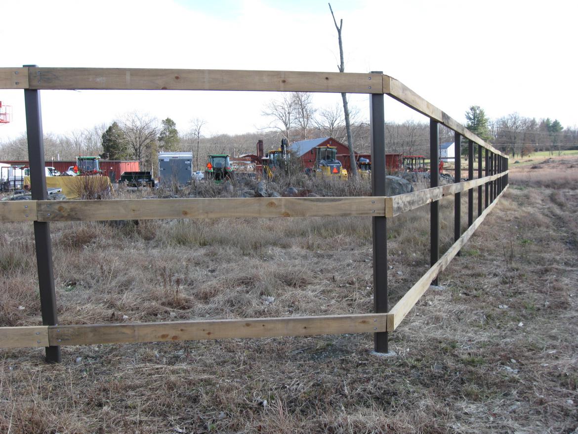
The fence will soon hide this area from the public. This view was taken facing west at approximately 1:00 PM on Saturday, December 4, 2010.
Until two years ago, a large growth of trees hid the maintenance area from the public... The Taneytown Road is in the foreground. This view was taken facing northwest at approximately 1:00 PM on Saturday, December 4, 2010.

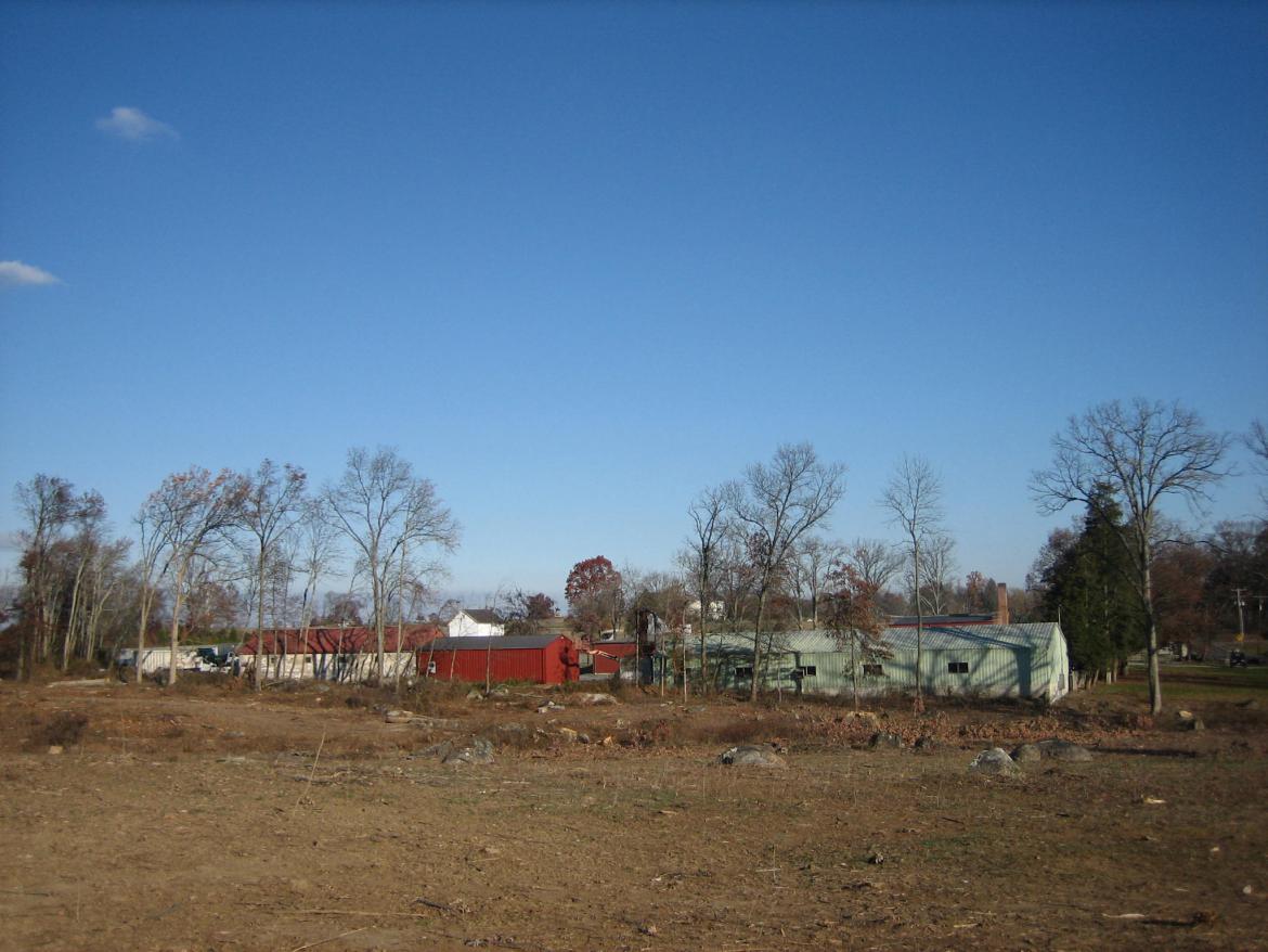
...as shown in this image. The Taneytown Road is in the foreground. Part of the William Patterson House is the structure on the right. This view was taken facing northwest at approximately 7:30 AM on Friday, August 15, 2008.
The trees were removed, and the William Patterson Orchard was replanted. This view was taken facing northwest at approximately 1:00 PM on Saturday, December 4, 2010.
The buildings used to be these colors. The building on the right might have been painted green to blend in with the trees that used to surround it. This view was taken facing northwest at approximately 8:30 AM on Sunday, November 9, 2008.
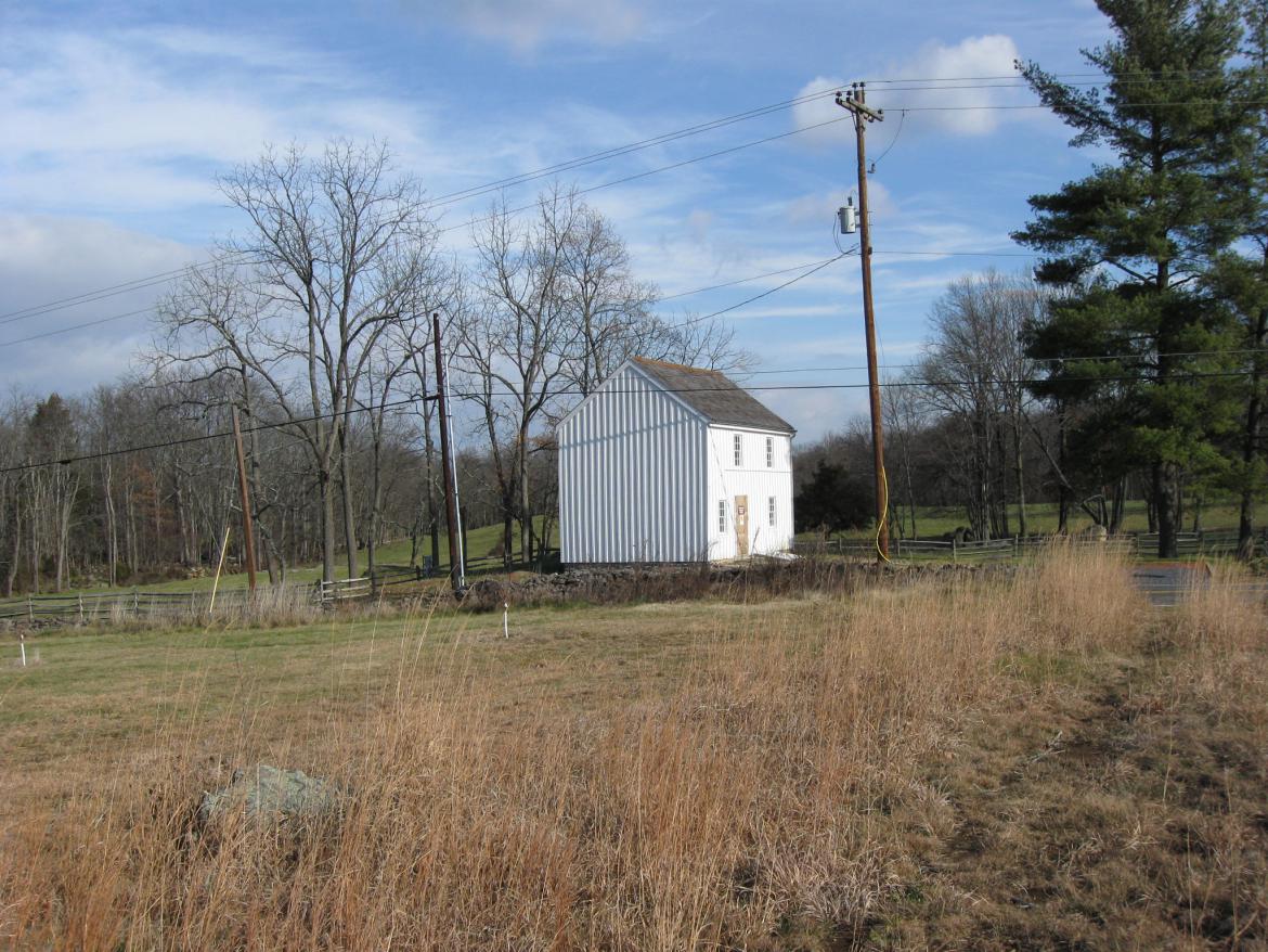
Oh yeah, here's the William Patterson House. This view was taken facing northeast at approximately 1:00 PM on Saturday, December 4, 2010.

The maintenance buildings have now all been painted red, we assume to match the red brick buildings in the compound. This view was taken facing north at approximately 1:00 PM on Saturday, December 4, 2010.

The fence extends west of the structures to surround National Park Service property that won't fit between the buildings. This view was taken facing north at approximately 1:00 PM on Saturday, December 4.

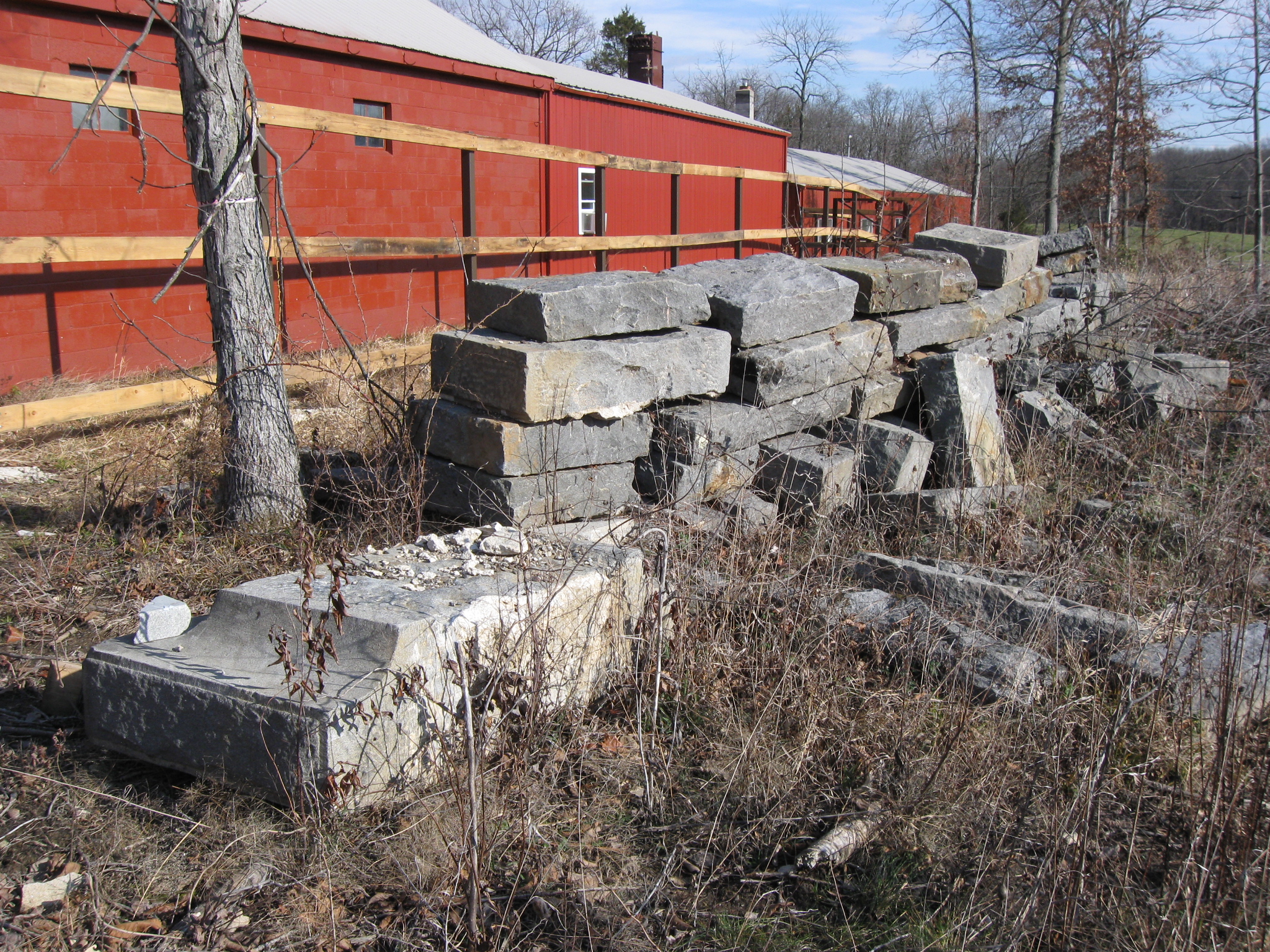
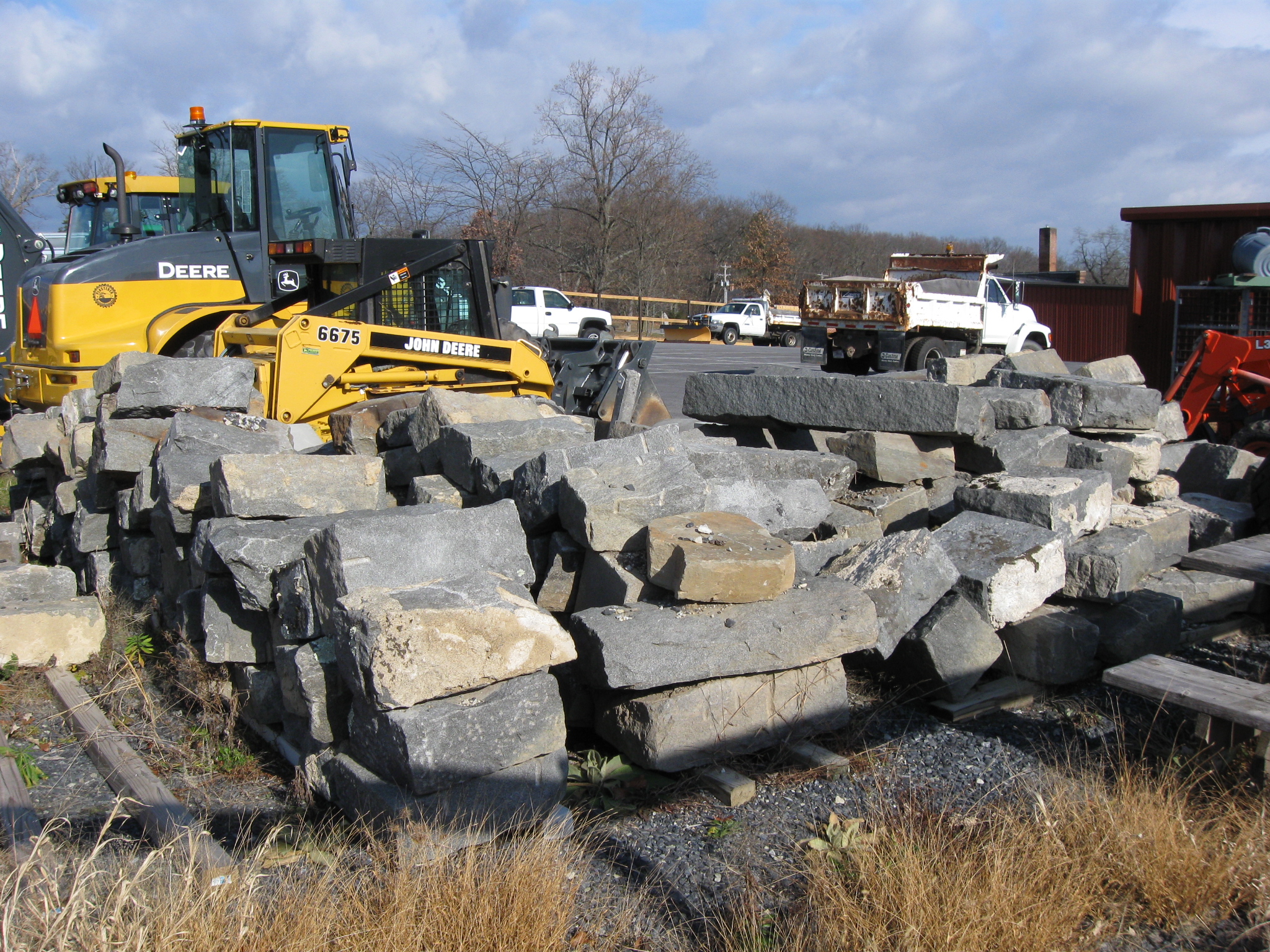
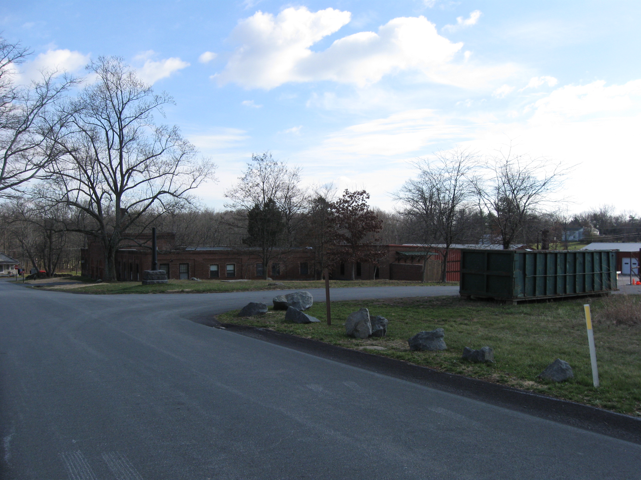
Believe it or not, this area is much more organized than when we visited here two years ago. These large pieces were probably part of bridge work and/or monument bases. This view was taken facing northeast at approximately 1:00 PM on Saturday, December 4, 2010.

The fence which is to screen the buildings, isn't tall enought to hide the top of the structures. And what will screen the fence. Will the National Park Service have to plant more trees here, you know to make this area look like it did before they cut the trees down? This view was taken facing north at approximately 1:00 PM on Saturday, December 4, 2010.

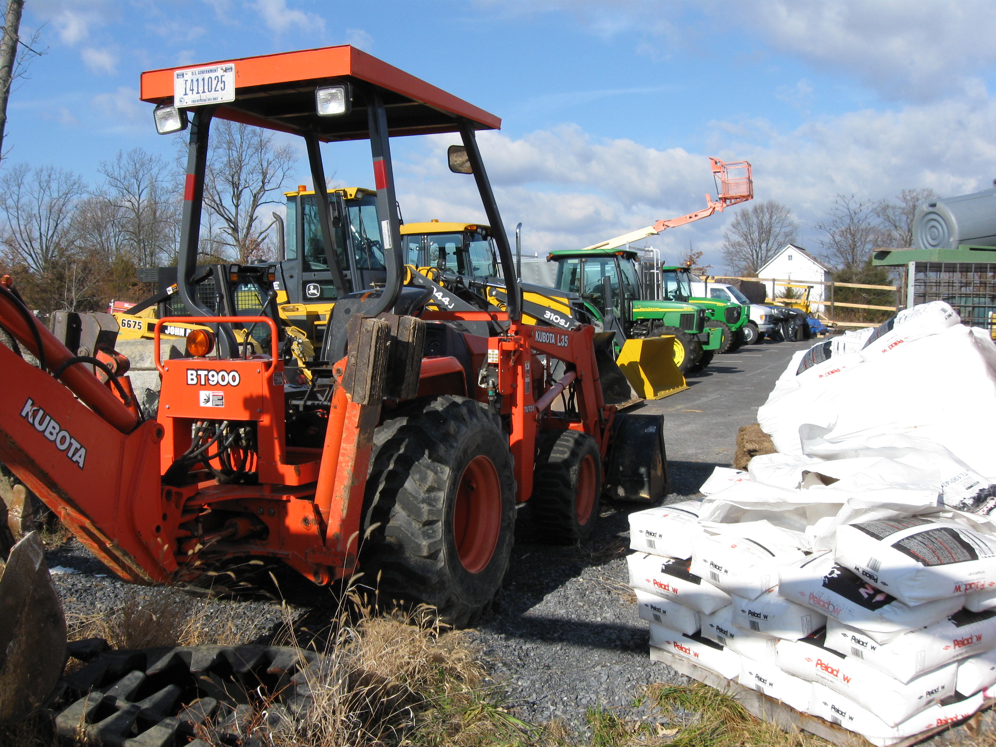
It will hide most of this equipment and supplies... This view was taken facing north at approximately 1:00 PM on Saturday, December 4, 2010.

...and these other stone pieces. This view was taken facing northeast at approximately 1:00 PM on Saturday, December 4, 2010.
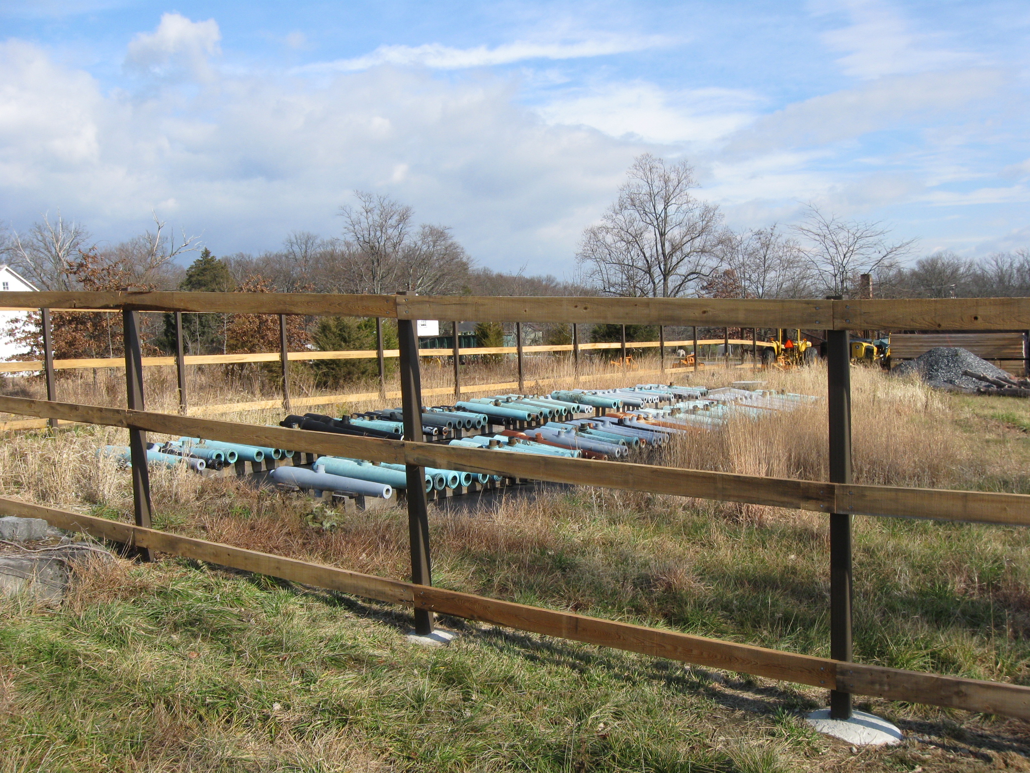
The northwest corner of the fence. The William Patterson House is the white structure in the right background. This view was taken facing southeast at approximately 1:00 PM on Saturday, December 4, 2010.

The equipment and other items does need to be hidden. This view was taken facing east at approximately 1:00 PM on Saturday, December 4, 2010.

But we'll miss seeing the progress or lack of progress on the cannon tubes stored in the maintenance area after the fence is completed. This view was taken facing northeast at approximately 1:00 PM on Saturday, December 4, 2010.

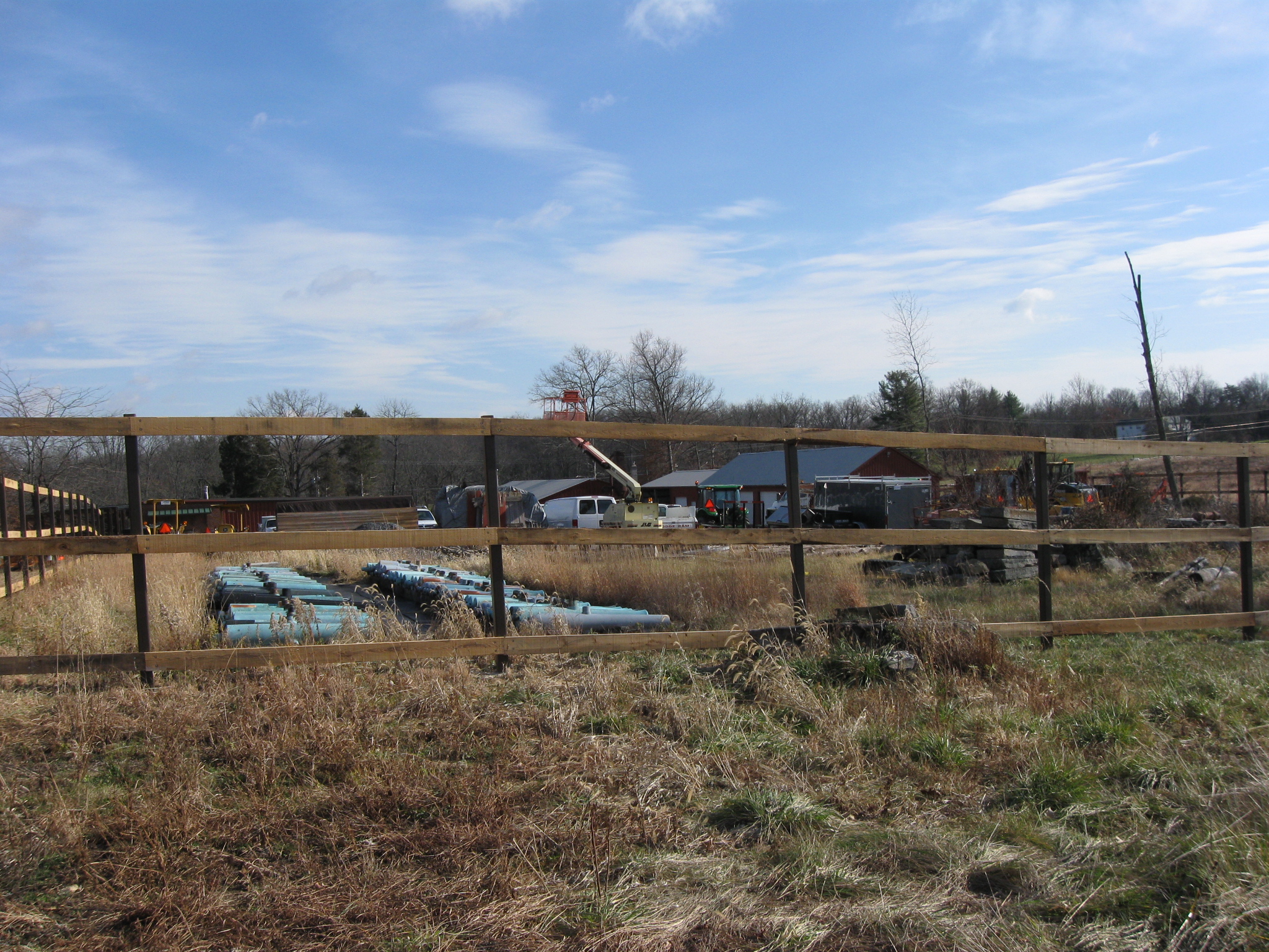
The tubes are awaiting their time to again be mounted on carriages on the battlefield. This view was taken facing east at approximately 1:00 PM on Saturday, December 4, 2010.

But there are a lot of cannon tubes here. The restoration process is very painstaking and there are not enough employees to complete the job in a timely manner, say for the 150th anniversary of the battle. This view was taken facing northeast at approximately 1:00 PM on Saturday, December 4, 2010.

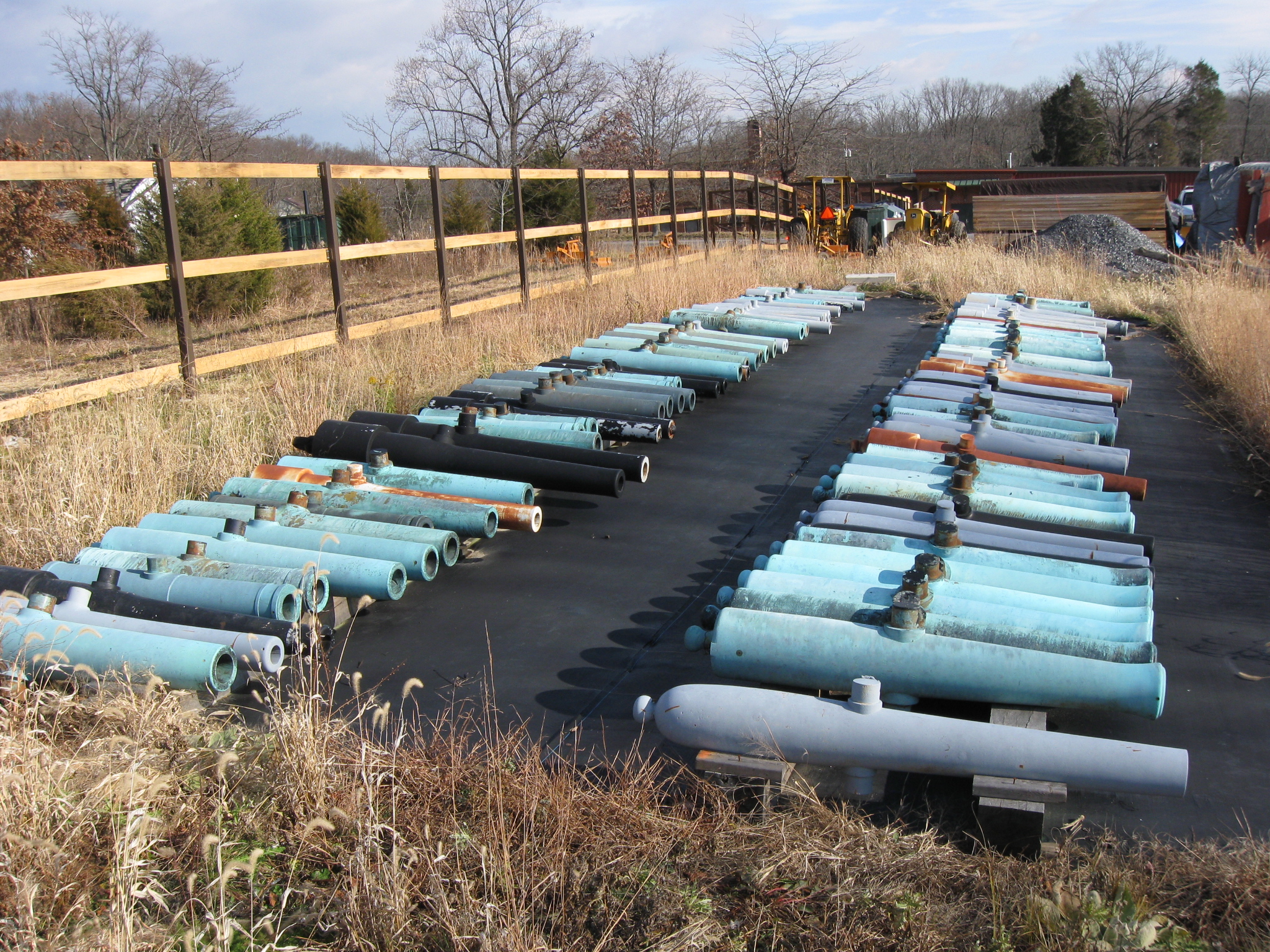
By our count, there are approximately 105 tubes here. This view was taken facing east at approximately 1:00 PM on Saturday, December 4.

By our count, 53 tubes are in the right row. 52 tubes are in the left row. This view was taken facing southeast at approximately 1:00 PM on Saturday, December 4, 2010.
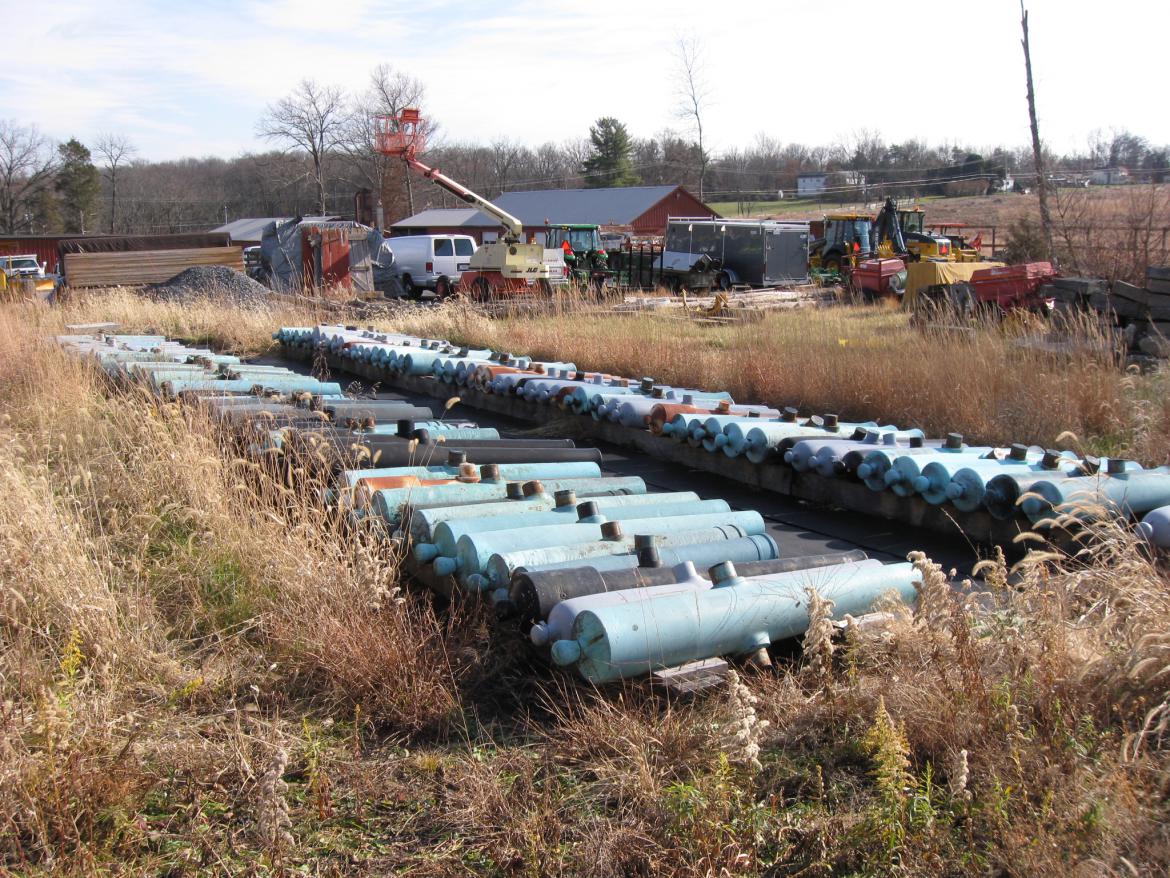
Many of the tubes are reproductions, but it would still be nice to have them back on the field. This view was taken facing southeast at approximately 1:00 PM on Saturday, December 4, 2010.

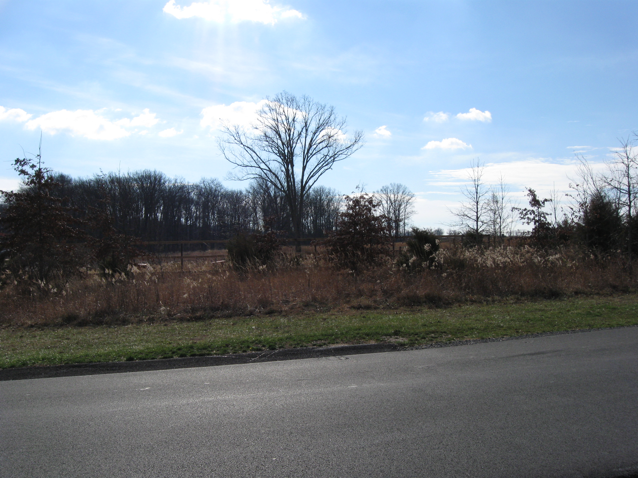
When the trees were cut in this area, some of the large trees were left near Pleasonton Avenue, and a lot of little cedar trees. The Pennsylvania State Monument located on Cemetery Ridge is barely visible through the trees. This view was taken facing southwest 1:00 PM on Saturday, December 4, 2010.

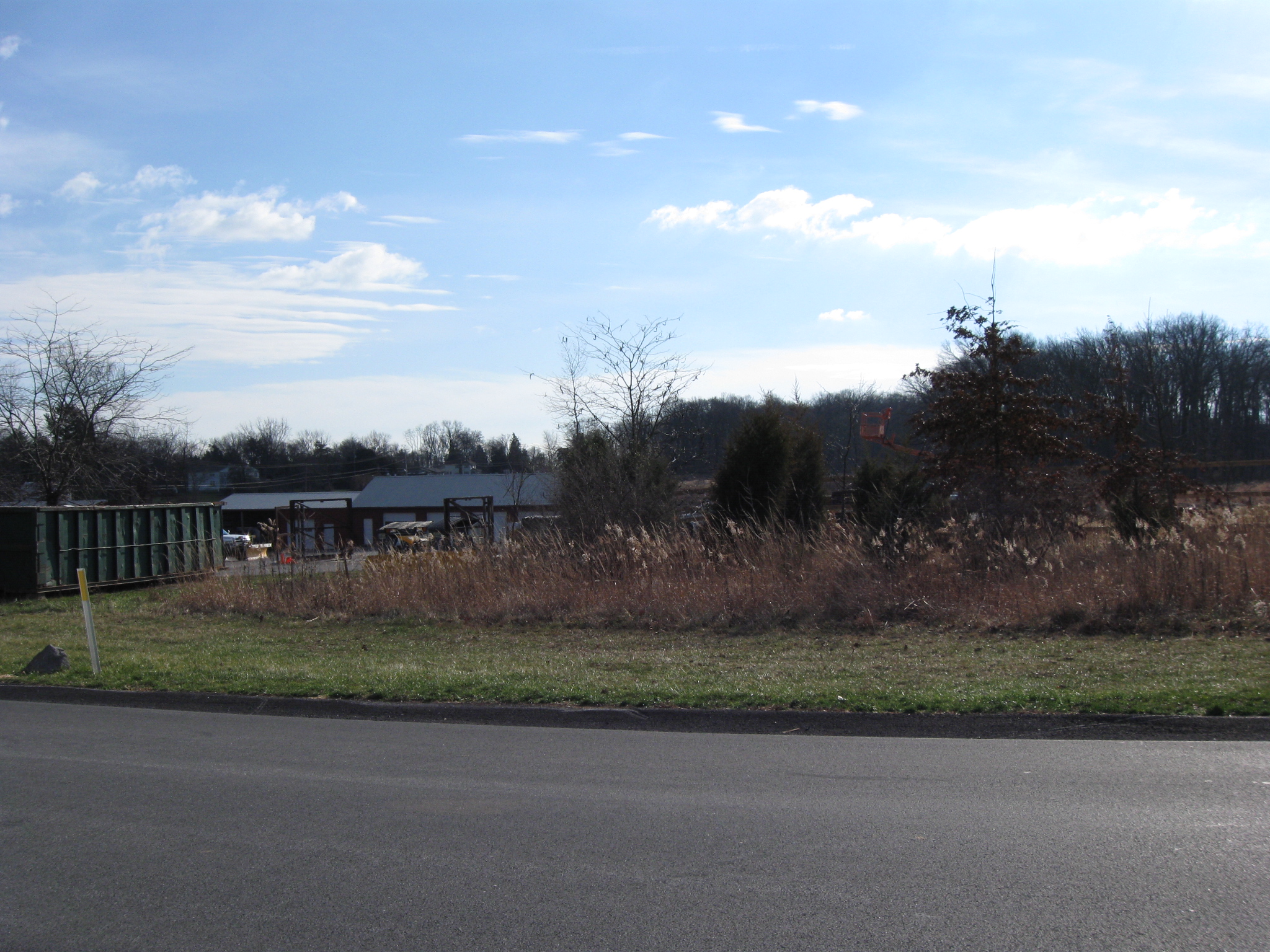
Pleasonton Avenue is in the foreground. But these little trees don't screen the maintenance area well... This view was taken facing south at approximately 1:00 PM on Saturday, December 4, 2010.

...like the trees that used to be here. Pleasonton Avenue is in the foreground. This view was taken facing south at approximately 8:30 AM on Sunday, November 9, 2008.

No they really don't do a good job here at all. We're all for the tree cutting in areas where it is needed to understand the battle, but we don't understand the tree cutting around the maintenance area, and the fence being built to screen the area that the trees used to screen. This view was taken facing southeast at approximately 1:00 PM on Saturday, December 4, 2010.

The end of our walk around the maintenance area. This view was taken facing southeast at approximately 1:00 PM on Saturday, December 4, 2010.

Does anyone remember when trees screened the maintenance area? This view was taken facing east at approximately 1:00 PM on Saturday, December 4, 2010.

We do This view was taken facing east at approximately 5:00 PM on Friday, October 17, 2008.