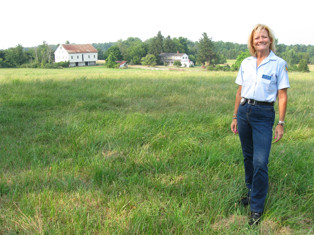
Gettysburg Licensed Battlefield Guide Andie Custer is standing on the east side of the Emmitsburg Road on Wintrode Ridge. The Cornelius Houghtelin Farm is in the background. The house was here at the time of the battle. Andie is wearing jeans because during the day before our filming she was leading horse tours of the battlefield. This view was taken facing north at approximately 5:15 PM on Tuesday, July 6, 2010.
Our host for the South Cavalry Battlefield series, Andie Custer, has been a Licensed Battlefield Guide since 1998. The Battle of South Cavalry Field took place after Pickett's Charge on July 3, 1863. It was an attack by the Union Cavalry to be coordinated with Union infantry on the south end of the battlefield. In our first post, Gettysburg Licensed Battlefield Guide Andie Custer presents U.S. Major General George Gordon Meade's plan of attack following Pickett's Charge, and brings the Third Division of the Cavalry Corps from Hunterstown to the Baltimore Pike. In the second post, Andie Custer showed the location where Major General Alfred Pleasonton gave orders to two of his division commanders, Judson Kilpatrick and David McMurtrie Gregg on July 3, 1863. She also shows us the location of White Run Church. In the third South Cavalry Field post, Gettysburg Licensed Battlefield Guide Andie Custer showed us the route taken by Farnsworth's Brigade along the Goulden-Sachs Road, and down the Taneytown Road to Rock Creek, where they watered their horses. In the fourth South Cavalry Field post, Gettysburg Licensed Battlefield Guide Andie Custer shows us how Farnsworth's Brigade left the Taneytown Road on what is now the Barlow-Greenmount Road, and turned north on Ridge Road. In the fifth South Cavalry Field post, Gettysburg Licensed Battlefield Guide Andie Custer shows how as Farnsworth's Brigade moved north on the Ridge Road, Merritt's Brigade was moving north on the Emmitsburg Road. In the sixth South Cavalry Field post, Andie Custer showed the area between Buddy Ridge and Wintrode Ridge where the soldiers had to dismount because of the rough terrain, and how James Hart's South Carolina Battery "leap frogged" along the Emmitsburg Road in order to keep up a constant rate of fire on Wesley Merritt's cavalrymen. In today's South Cavalry Field post, Andie Custer shows us the National Park Service property on Wintrode Ridge, and explains how Merritt's troopers advanced through this area.
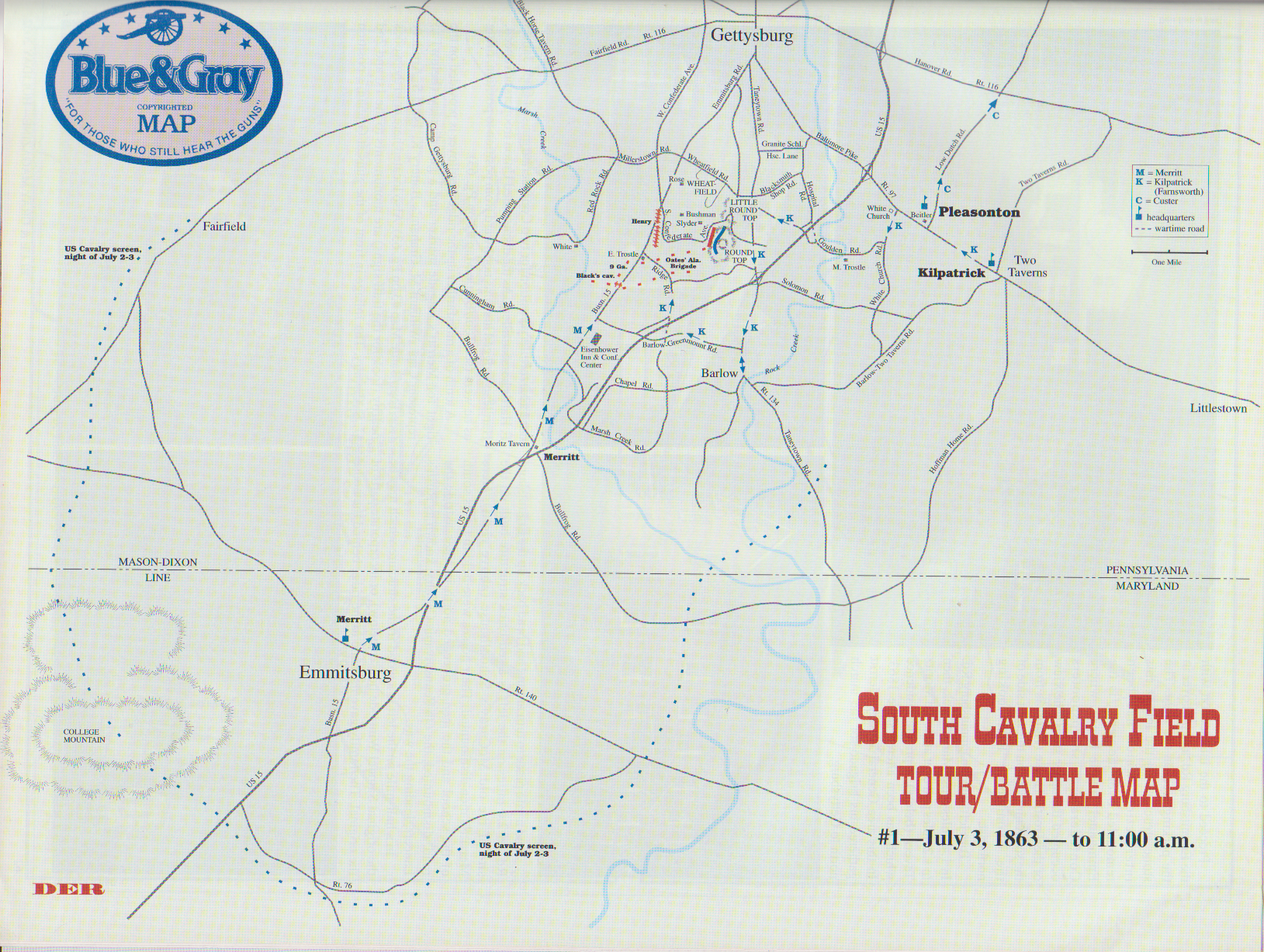
This map shows us the locations taken of the videos for this South Cavalry Field series. Videos #1-#16 were shown in our previous posts. Video #12 was taken at the junction of old Ridge Road with current Ridge Road. Video #13 was taken at the Eisenhower Inn. Video #14 was taken at the McCurdy School on the Emmitsburg Road. Video #15 was taken between Buddy Ridge and Wintrode Ridge. Videos #16-18 was taken on top of Wintrode Ridge. This map was created facing north at approximately 4:00 PM on Wednesday, July 7, 2010.

This open area on Wintrode Ridge and east of the Emmitsburg Road is owned by the National Park Service and is called by many, South Cavalry Field. The marker to Captain William Graham's Battery K, 1st United States Artillery is in the left background. Andie will begin today's post to the left of (north of) the treeline on the left. The marker on the right is to the 6th United States Cavalry which fought near Fairfield on July 3, 1863. This view was taken facing southeast at approximately 5:15 PM on Tuesday, July 6, 2010.
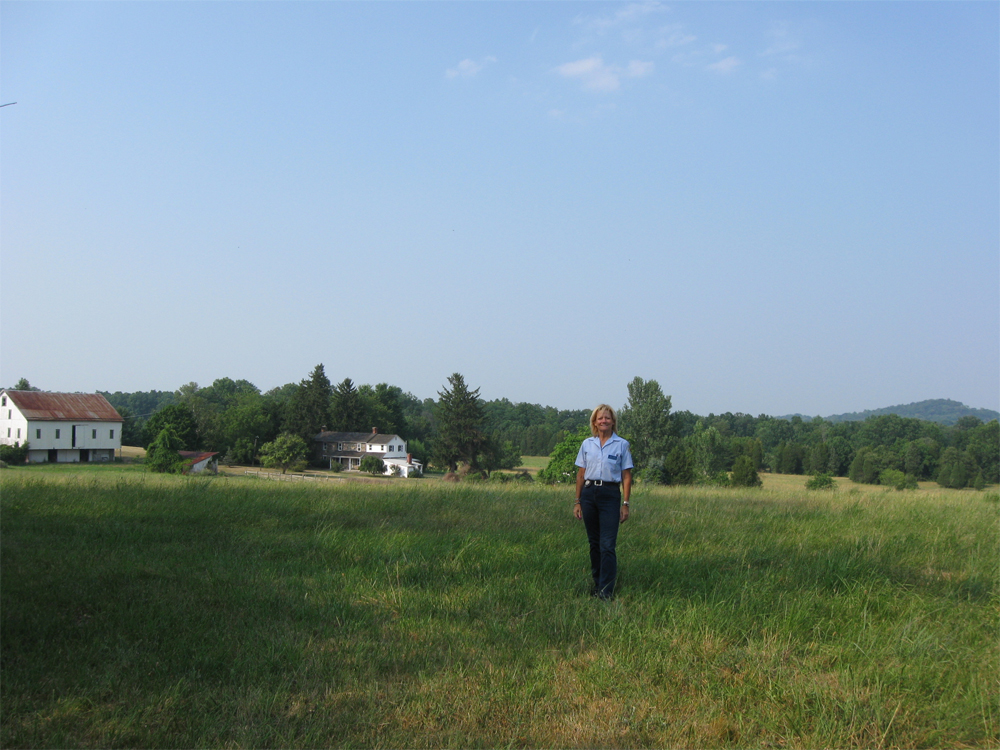
Gettysburg Licensed Battlefield Guide Andie Custer is standing on top of Wintrode Ridge. The Houghtelin farm is in the left background. Big Round Top is in the right background. This view was taken facing north at approximately 5:15 PM on Tuesday, July 6, 2010.
[video filename="http://i.gettysburgdaily.com/imgs/SCFCuster070610_vids/2539.flv" shadowbox=off image="http://i.gettysburgdaily.com/imgs/SCFCuster070610_vids/2539.jpg" /]In Video #17 (Videos #1- #16 were shown in our previous South Cavalry Field posts) Gettysburg Licensed Battlefield Guide Andie Custer shows where Captain William Graham deployed his Battery K, 1st United States Artillery, and describes how the 6th Pennsylvania Cavalry advanced northward from this location. This view was taken facing north to northwest to north to northeast to north at approximately 5:15 PM on Tuesday, July 6, 2010.

Gettysburg Licensed Battlefield Guide Andie Custer is pointing to Bushman Hill, which is to the left of Big Round Top, and is barely visible over the trees. This view was taken facing northeast at approximately 5:15 PM on Tuesday, July 6, 2010.

Licensed Battlefield Guide Andie Custer is still standing on Wintrode Ridge. In the previous photographs she was standing on the other (north) side of the treeline. Now she is south of the treeline on National Park Service property. The marker to Graham's Battery K, 1st U.S. Artillery is in the background. This view was taken facing north at approximately 5:15 PM on Tuesday, July 6, 2010.
[video filename="http://i.gettysburgdaily.com/imgs/SCFCuster070610_vids/2541.flv" shadowbox=off image="http://i.gettysburgdaily.com/imgs/SCFCuster070610_vids/2541.jpg" /]In Video #18 Licensed Battlefield Guide Andie Custer is standing on National Park Service property on Wintrode Ridge on what is commonly known as South Cavalry Field. Andie shows us the expanse of the government owned property on this east side of the Emmitsburg Road, and then she explains how large the South Cavalry Battlefield really was. She mistakenly said "6" ordnance rifles" when of course she meant to say 3" ordnance rifles. This view was taken facing north to west to north to south to southwest at approximately 5:15 PM on Tuesday, July 6, 2010.

Andie Custer will show us some markers located in this area which usually do not receive a lot of attention from visitors. On the left is the marker to the 2nd United States Cavalry. Andie is pointing into the woods for our next stop... This view was taken facing southwest at approximately 5:15 PM on Tuesday, July 6, 2010.

... the marker to the 1st United States Cavalry. This marker is certainly in competition for being known the least visited marker on the Gettysburg battlefield. This view was taken facing west at approximately 5:15 PM on Tuesday, July 6, 2010.

We have provided a closeup of the text on the marker. This view was taken facing south at approximately 5:15 PM on Tuesday, July 6, 2010.

As we came out of the woods near the Emmitsburg Road, Andie paused by the marker to Wesley Merritt's Cavalry Brigade. This view was taken facing east at approximately 5:15 PM on Tuesday, July 6, 2010.
This map of the cavalry actions on July 3, 1863 at Gettysburg was created by Andie Custer and David Roth of Blue and Gray Magazine. It is reprinted with permission from Blue and Gray Magazine.
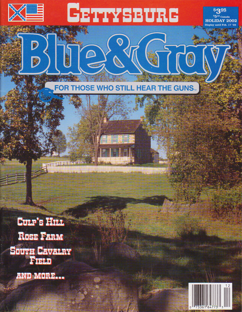
The previous map appeared in this Holiday, 2002 edition of Blue and Gray Magazine.
To see other posts by Gettysburg Licensed Battlefield Guides, click here.