300 Yards of Confederate Earthworks Exposed on Seminary Ridge

The Confederate earthworks are in the right center of this view running away from the camera. This view was taken facing south at approximately 3:00 PM on Saturday, January 22, 2011.
The tree cutting along Seminary Ridge has exposed approximately 300 yards of Confederate earthworks. Trees still cover much of the works and the National Park Service made sure that their contractor did not cut down the trees with their heavy equipment. Those trees on the earthworks have been left until they can be carefully removed by hand.

We'll start our tour of the works by parking across from the National Guard Armory... This view was taken facing southeast at approximately 3:00 PM on Saturday, January 22, 2011.

...which is located on West Confederate Avenue... This view was taken facing south at approximately 3:00 PM on Saturday, January 22, 2011.

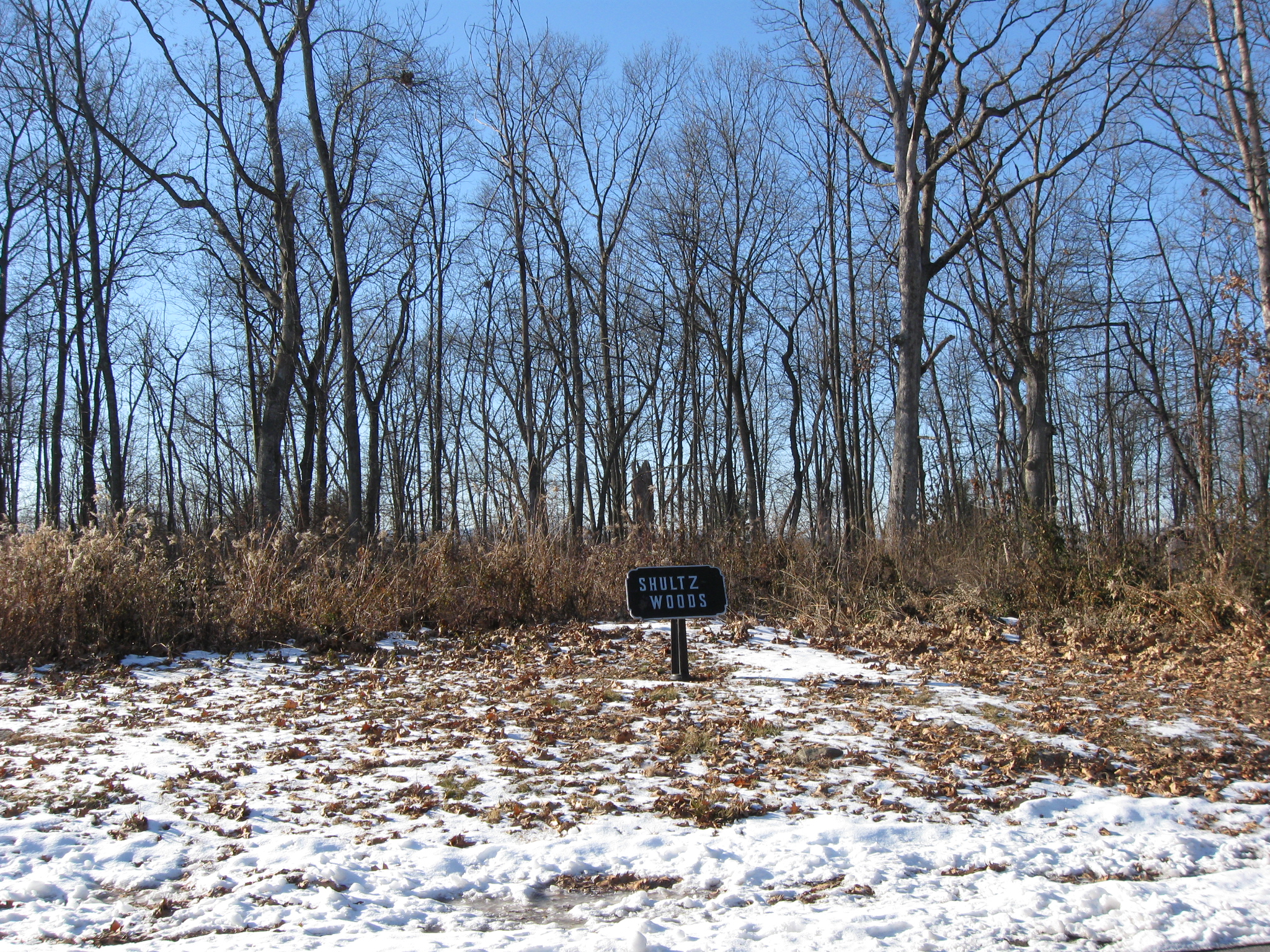
... across the street from Shultz Woods. This view was taken facing west at approximately 3:00 PM on Saturday, January 22, 2011.
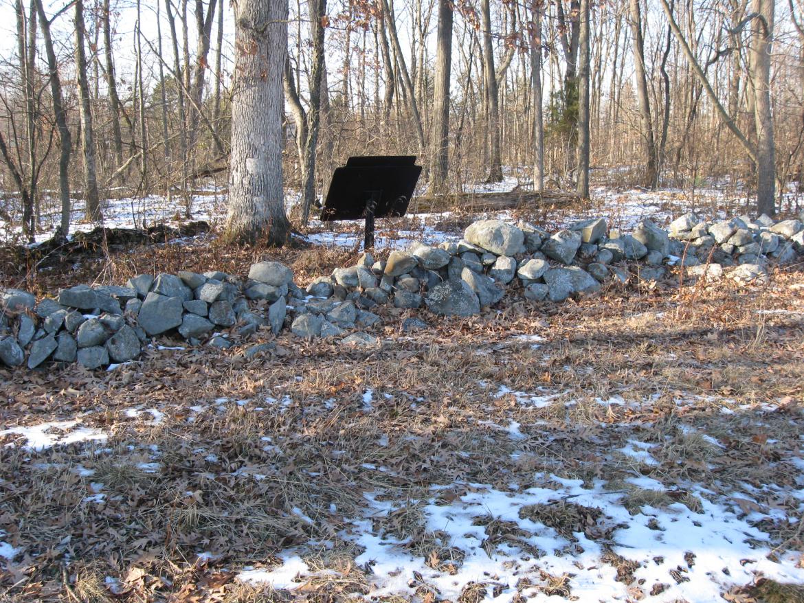
In Shultz Woods, pproximately 40 yards west of West Confederate Avenue, is a stone wall. This view was taken facing northwest at approximately 3:00 PM on Saturday, January 22, 2011.

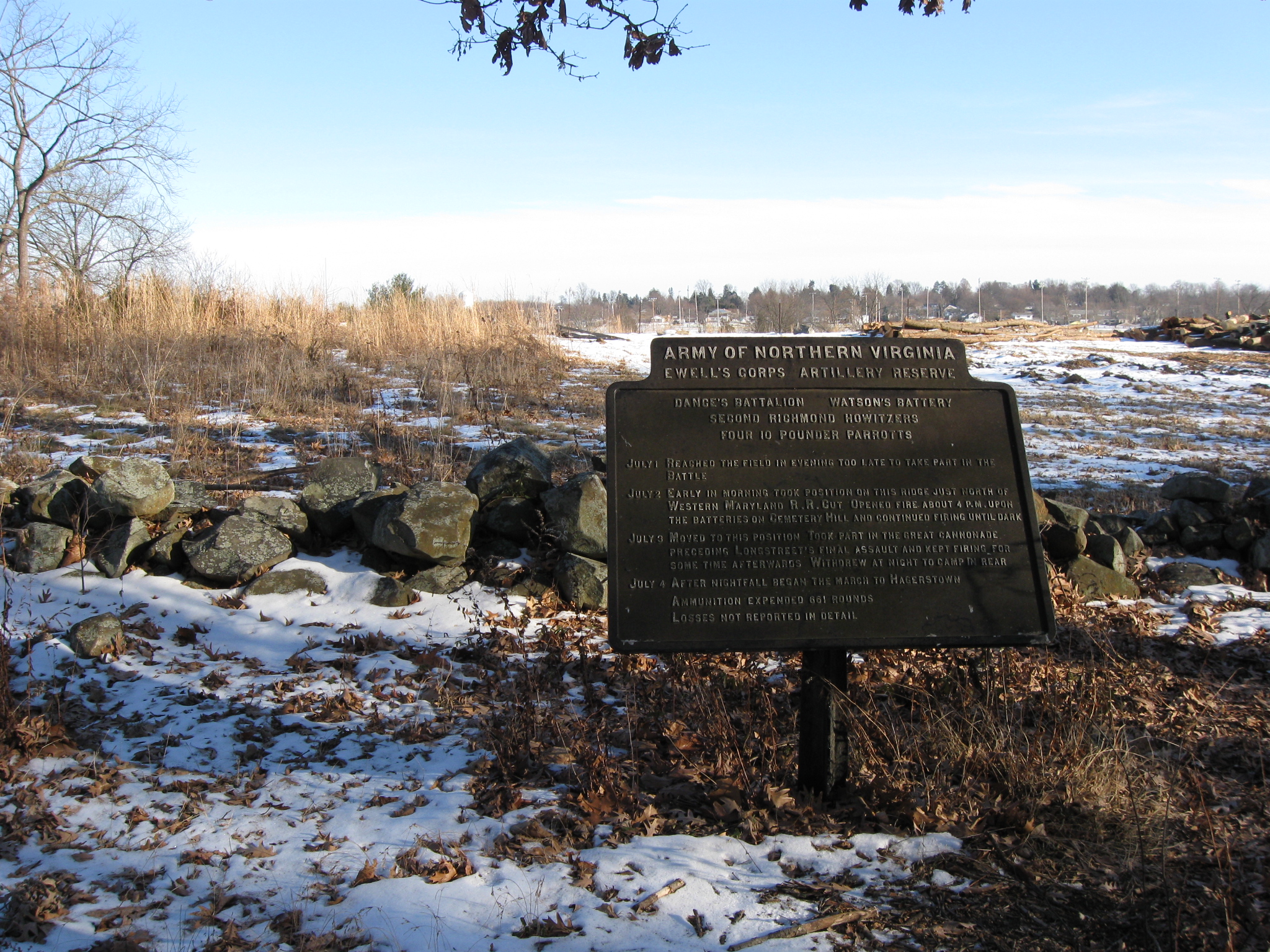
Behind the wall are artillery plaques, and artillery pieces marking the position of batteries were also once located behind the wall. Notice how these cannon were located not only behind the wall, but on the reverse slope of Seminary Ridge. The trees in the center and right background are on Cemetery Ridge, which was occupied by Union artillery. This view was taken facing east at approximately 3:00 PM on Saturday, January 22, 2011.

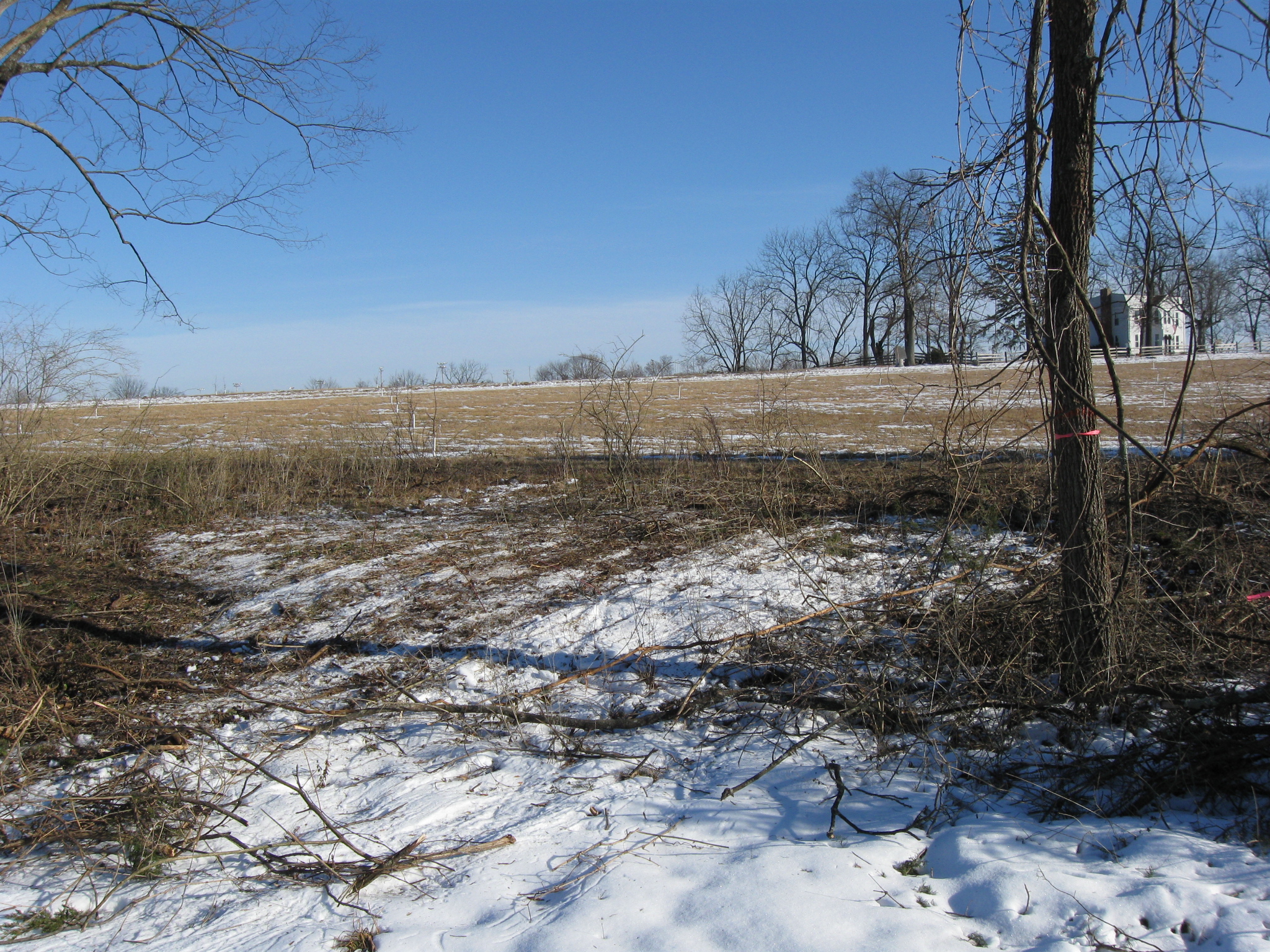
If we walk south along the stone wall, we will soon see that the Confederates dug earthworks to continue this line on the reverse slope of the ridge. The trees in the center of the view are along the Confederate earthworks. The McMillan House is in the left background. This view was taken facing north at approximately 3:00 PM on Saturday, January 22, 2011.
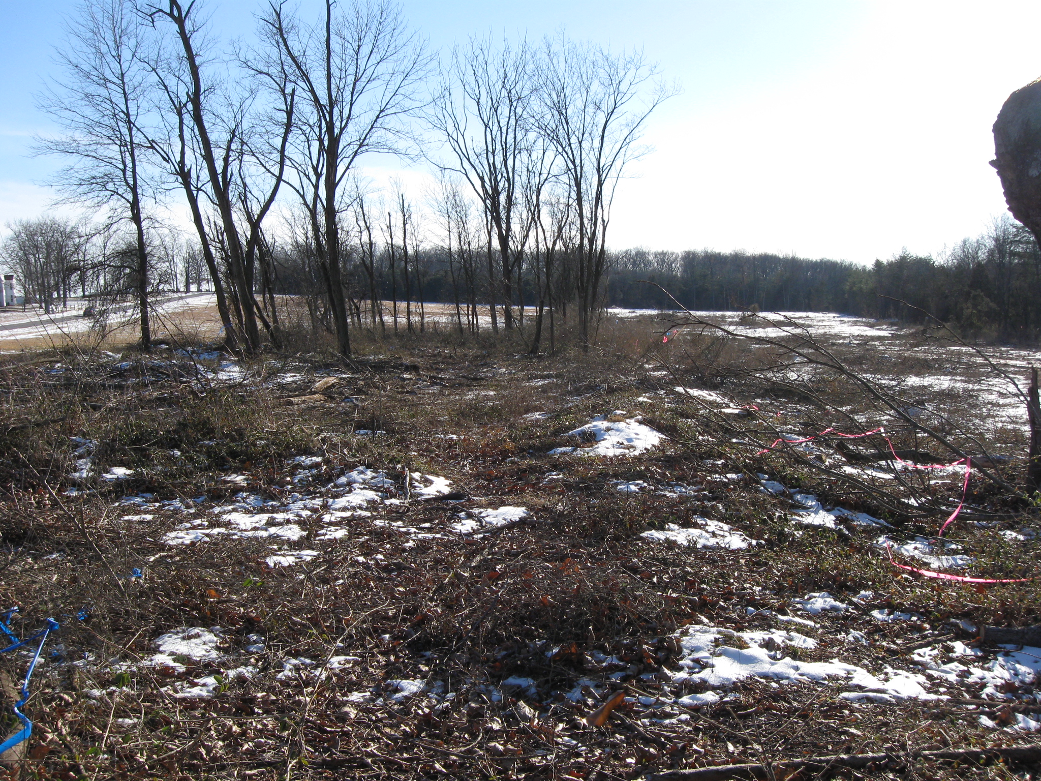
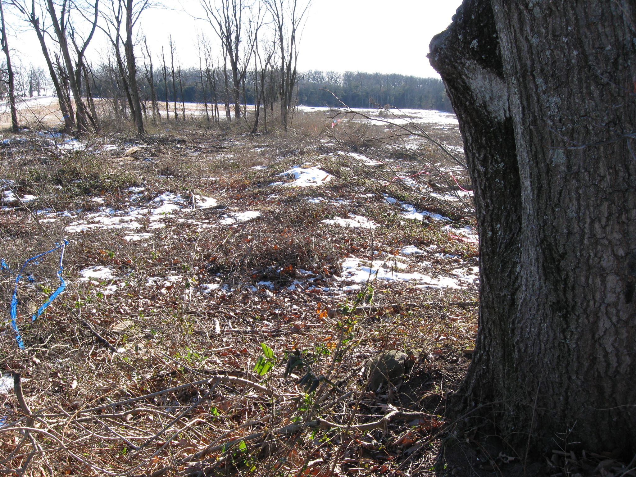
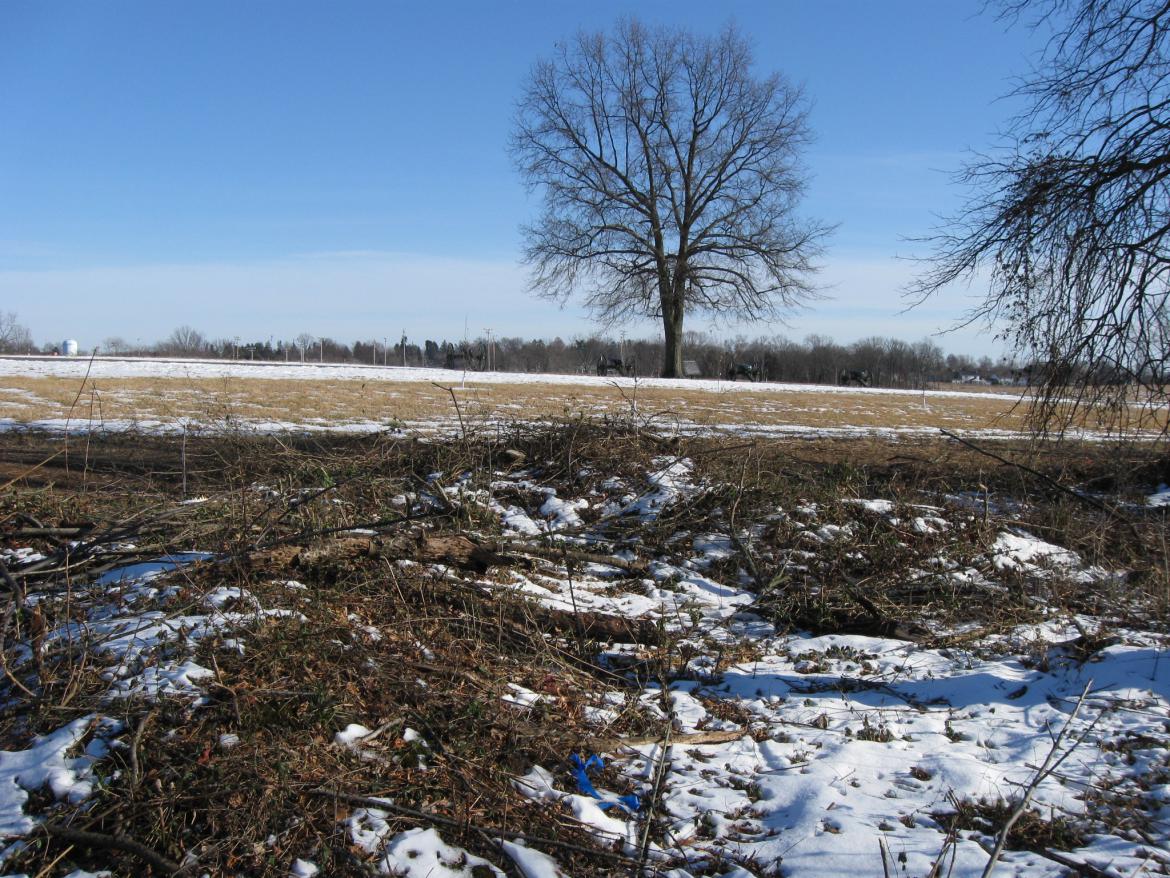
So again, the trees in the center of the view are on the earthworks. Large swaths of trees to the left and the right of the earthworks have been removed. This view was taken facing south at approximately 3:00 PM on Saturday, January 22, 2011.

Just to the left of the tree trunk the earthworks runs away from the camera towards McMillan Woods, which are the trees in the far background. This view was taken facing south at approximately 3:00 PM on Saturday, January 22, 2011.

The earthworks didn't just protect infantry. There are more than a few example of remains of artillery lunettes here also. This view was taken facing southeast at approximately 3:00 PM on Saturday, January 22, 2011.

We're now shooting directly down the infantry earthworks. This view was taken facing south at approximately 3:00 PM on Saturday, January 22, 2010.

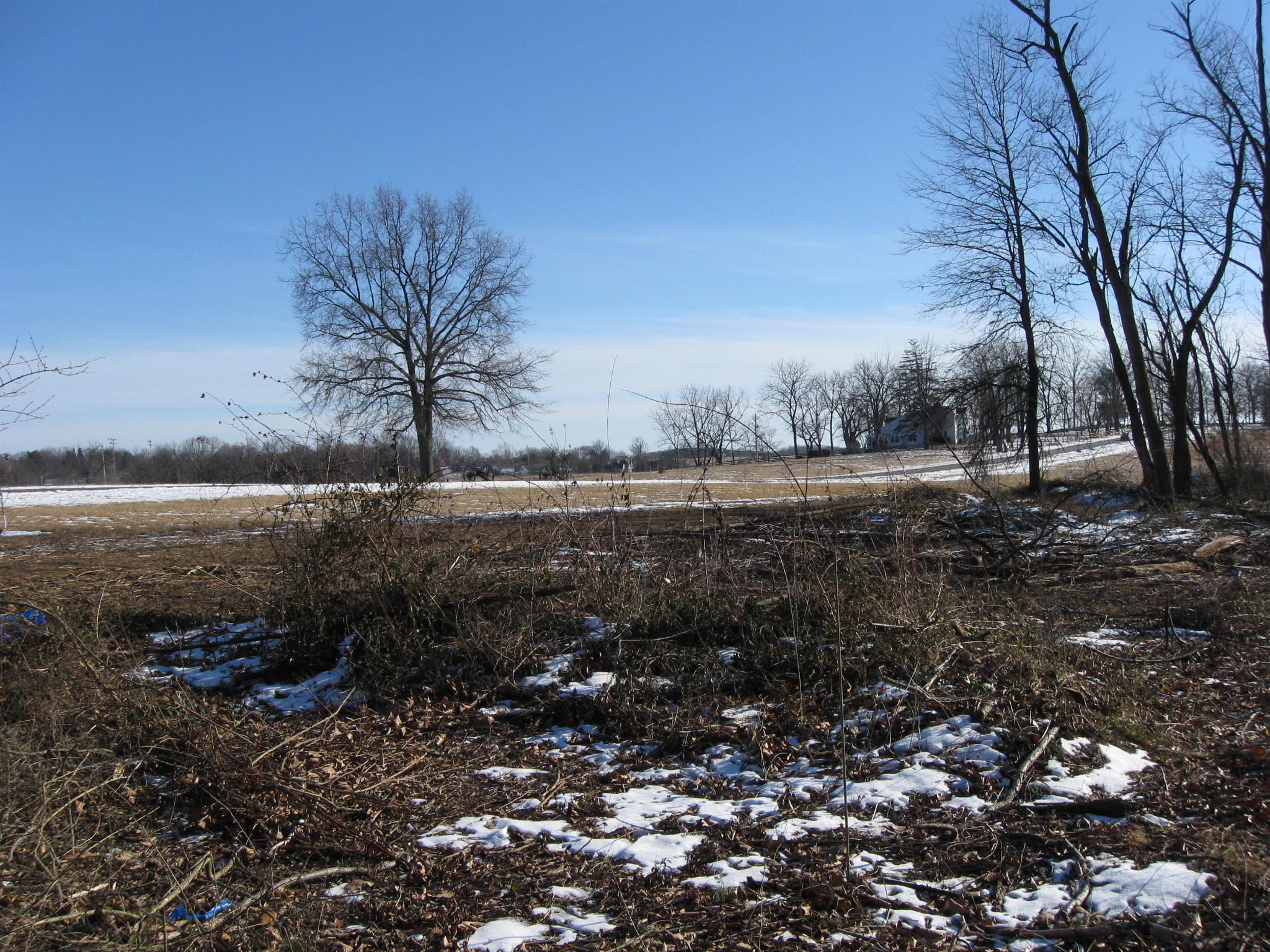
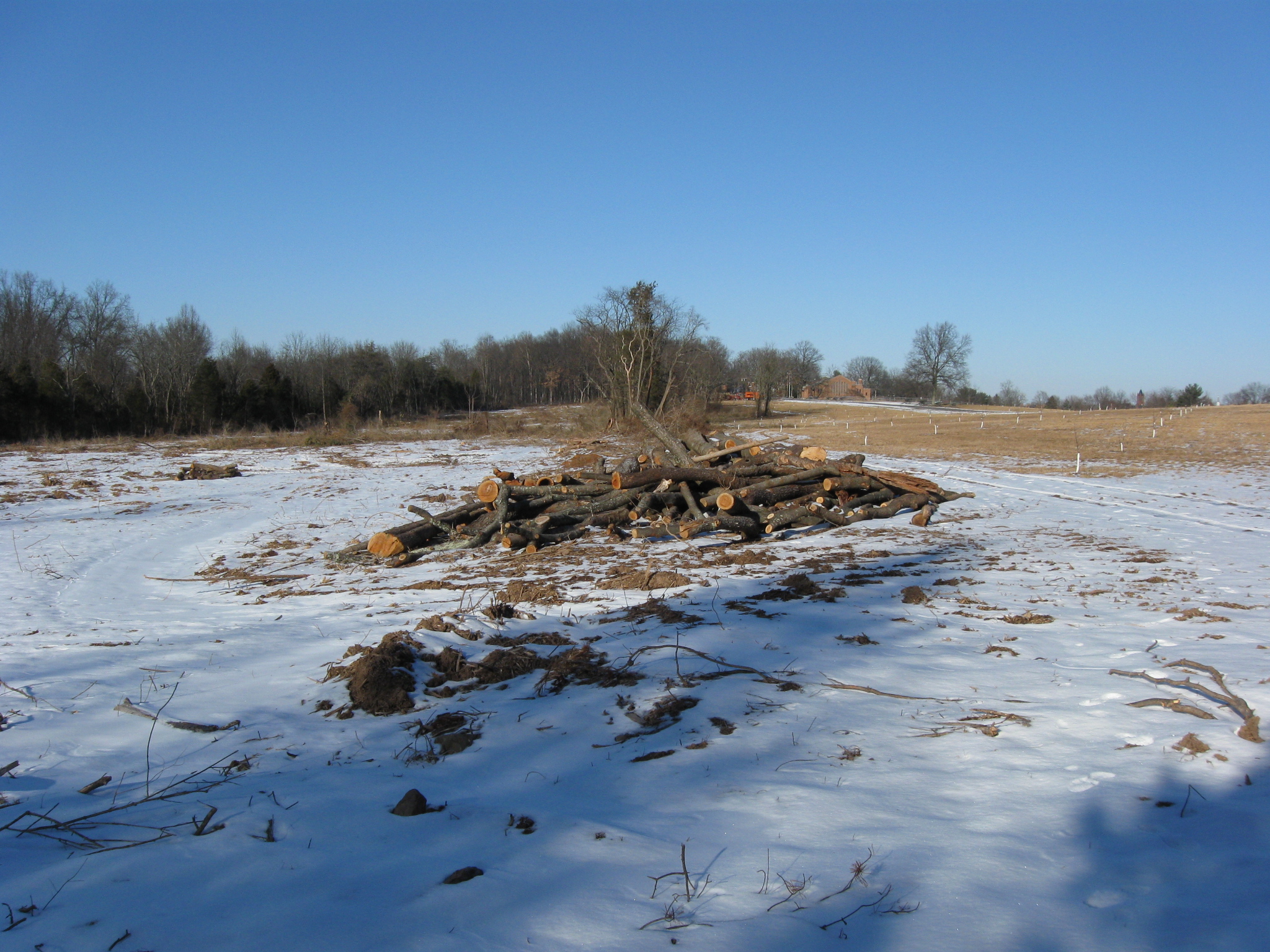
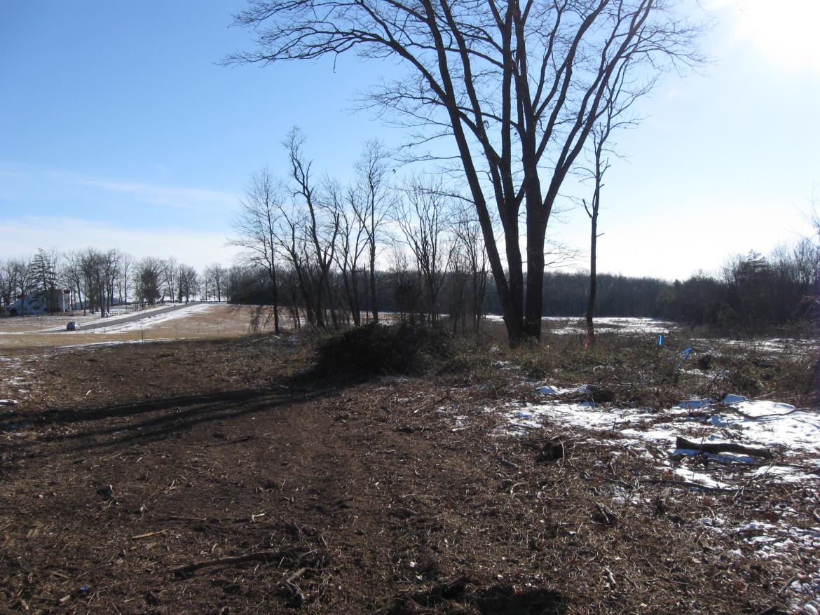
This image is to show how far we are from the McMillan House. Again the trees on the right are in the area of the earthworks. This view was taken facing south at approximately 3:00 PM on Saturday, January 22, 2011.

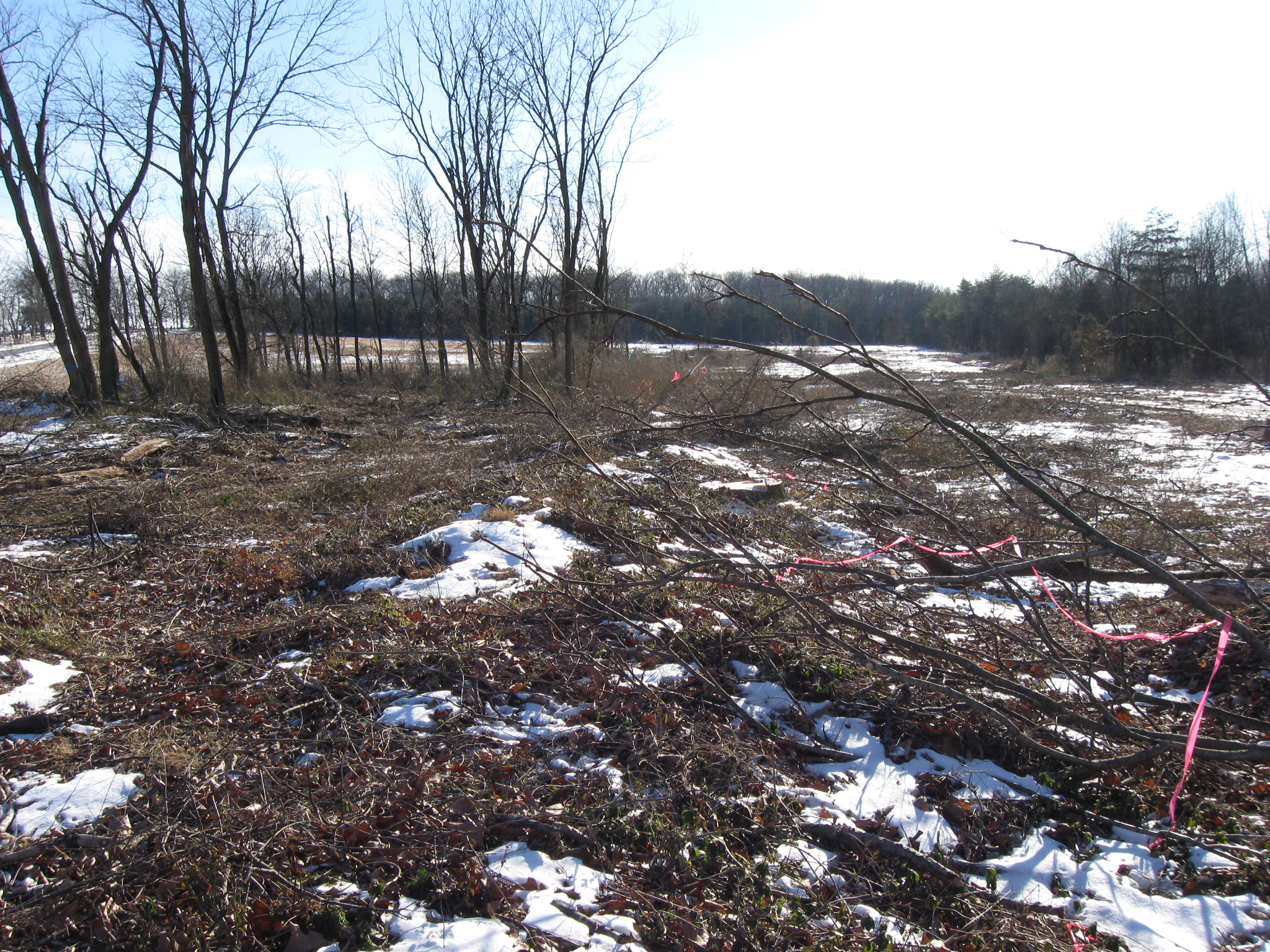
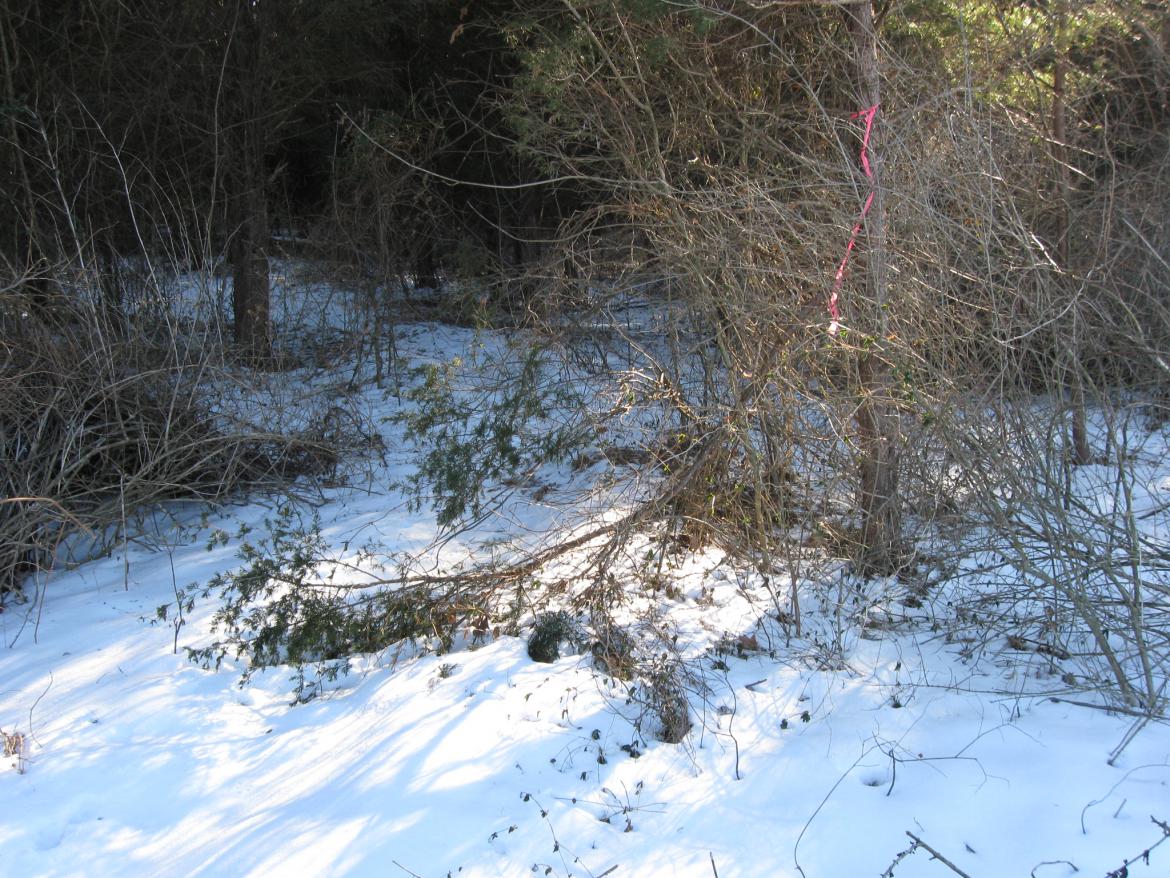
Another lunette is located on the other side of the tree with the blue ribbon on the left and the tree with a red line on the right. This view was taken facing east at approximately 3:00 PM on Saturday, January 22, 2011.
Just to the left of the trees in the previous picture is another lunette. The artillery pieces in the background, needly exposed on the crest of the ridge, mark the position of Lewis' Battery. This view was taken facing east at approximately 3:00 PM on Saturday, January 22, 2011.
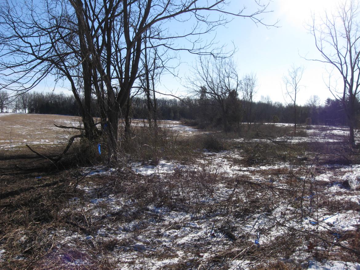
In the area, the earthworks make a turn. Just on the other side of the trees directly ahead showing blue ribbons, the works make a "jog" to the right then follow that tree line towards McMillan Woods. This view was taken facing south at approximately 3:00 PM on Saturday, January 22, 2011.

The earthworks probably are farther to the right (east) in this area because the ridge has a "dip" in it here. Moving the works farther to the right kept the soldiers better protected. This view was taken facing south at approximately 3:00 PM on Saturday, January 22, 2011.

The turn of the earthworks. This view was taken facing southwest at approximately 3:00 PM on Saturday, January 22, 2011.

The soldiers now farther from the dip in the crest are better protected on the reverse slope of the ridge. This view was taken facing east at approximately 3:00 PM on Saturday, January 22, 2011.

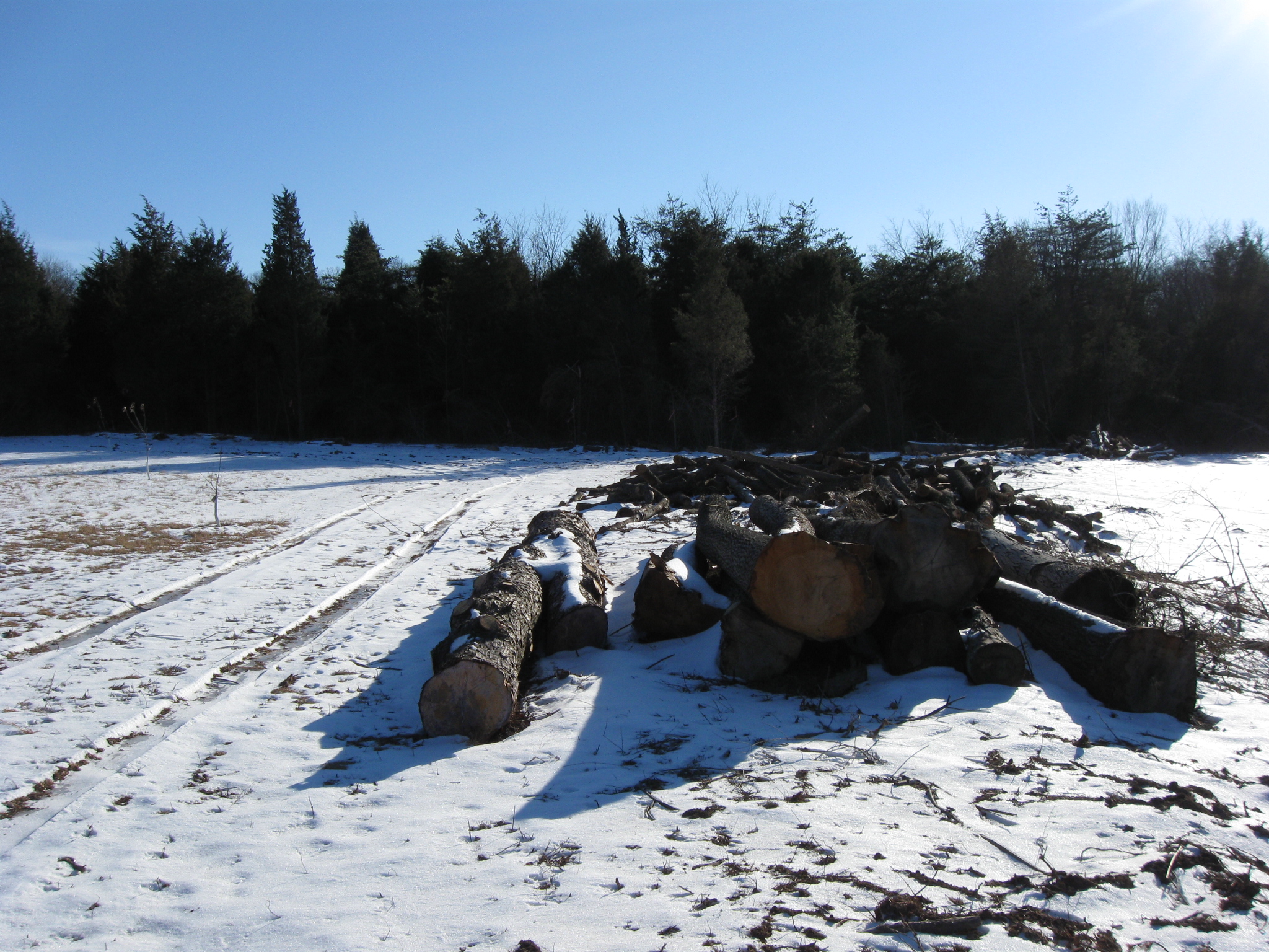
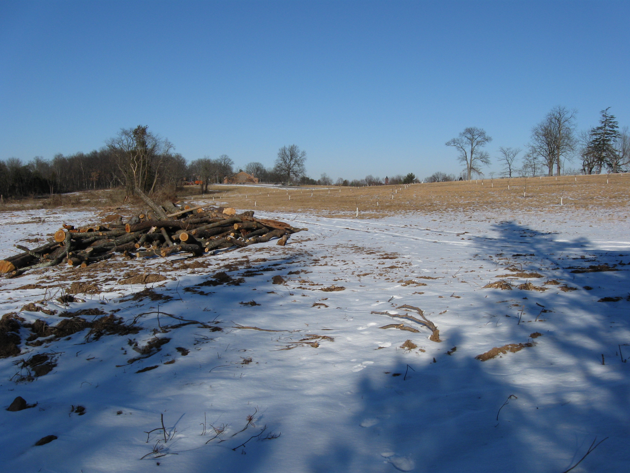
The cut wood sits on the earthworks. This view was taken facing south at approximately 3:00 PM on Saturday, January 22, 2011.
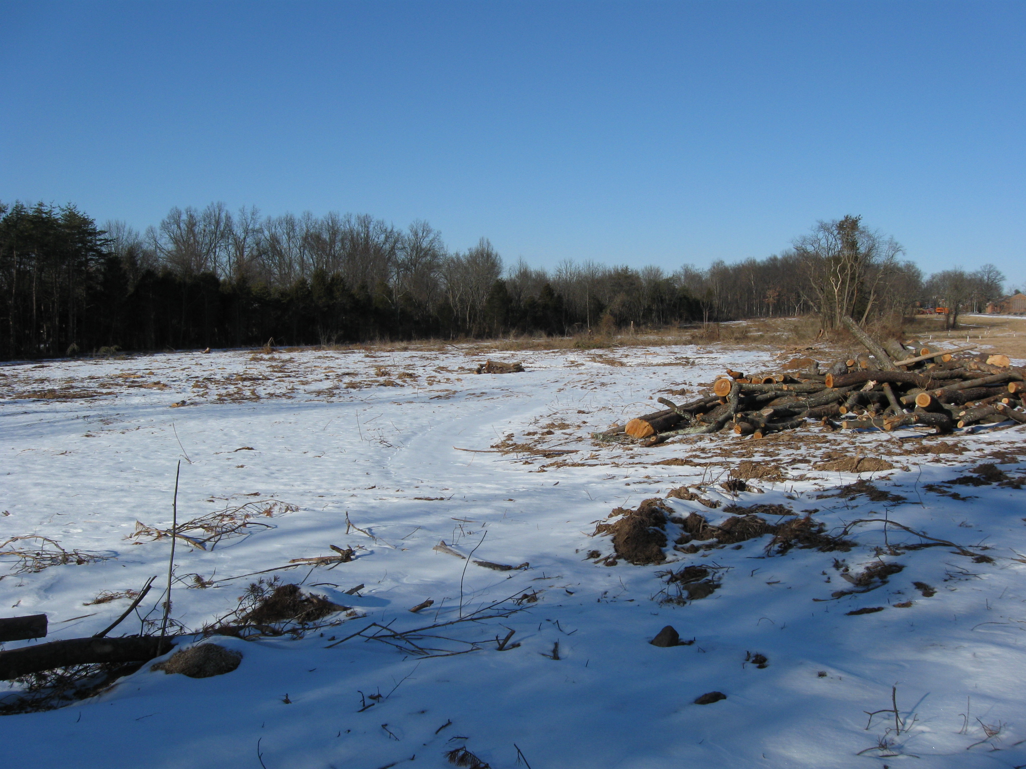
It appears to us that the earthworks continue into McMillan Woods. This view was taken facing south at approximately 3:00 PM on Saturday, January 22, 2011.

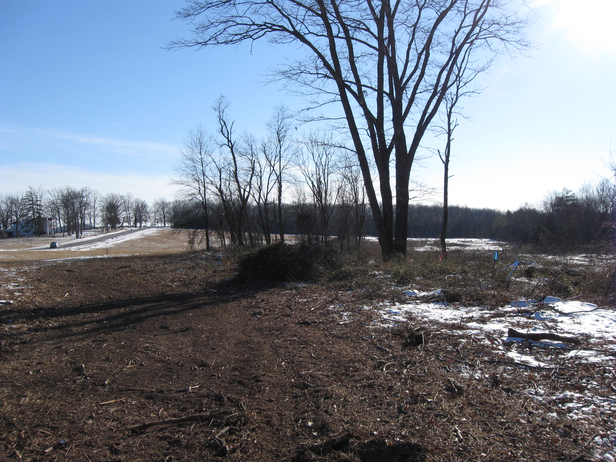
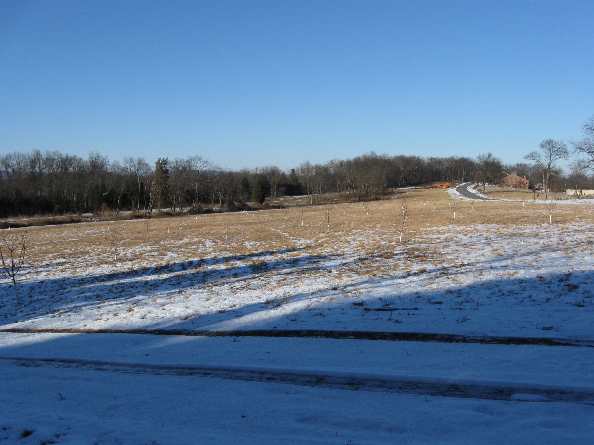
We've turned around to take a look back at the earthworks. The National Guard Armory is in the right distance. This view was taken facing north at approximately 3:00 PM on Saturday, January 22, 2011.

Again, lots of trees were cleared to the left of (west of) the earthworks. This view was taken facing northwest at approximately 3:00 PM on Saturday, January 22, 2011.

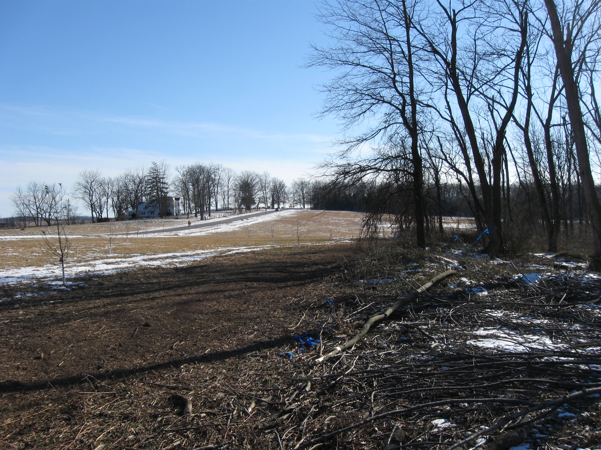
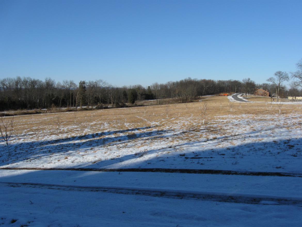
An orchard was replanted to the right of the earthworks. This view was taken facing northeast at approximately 3:00 PM on Saturday, January 22, 2011.
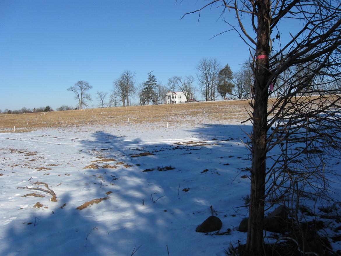
The McMillan House. This view was taken facing northeast at approximately 3:00 PM on Saturday, January 22, 2011.
A view of the works with our back to McMillan's Woods, and a little farther up (farther east) the slope of the ridge. This view was taken facing northwest at approximately 3:00 PM on Saturday, January 22, 2011.