Gettysburg National Military Park: Then & Now, Part 24: LBG Garry Adelman
Gettysburg Licensed Battlefield Guide, and Vice President of the 
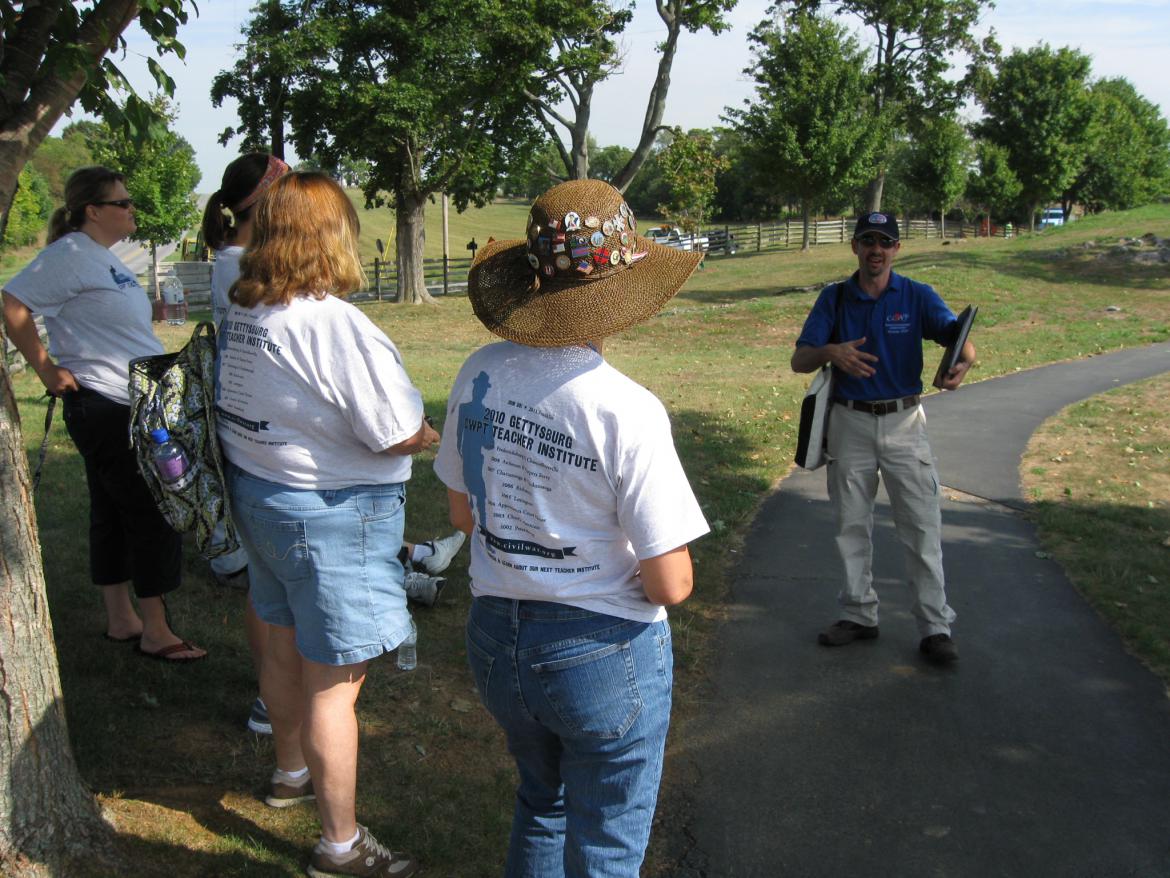
Center for Civil War Photography, Garry Adelman, is at Antietam National Battlefield speaking to a group of teachers. He is standing on the path leading to the Maryland State Monument. The Smoketown Road is behind the post and rail fence. The Hagerstown Road is in the left background running away from the camera. With Barry Martin and Tom Danninger, Garry created the CD, The Gettysburg Park Commission Photos: Then & Now. This view was taken facing northeast at approximately 10:00 AM on Tuesday, August 17, 2010.
Gettysburg Licensed Battlefield Guide Garry Adelman, along with colleagues Tom Danninger and Barry Martin, systematically located the camera positions of the 237 photographs included in the Annual Reports of the Gettysburg National Military Park Commission, 1893-1904. The trio arranged the photos into seventeen sections and present the images in a “then & now” format along with a history of the project and the Park Commission on their CD, The Gettysburg Park Commission Photos: Then & Now. We continue their series with a sampling from each of the seventeen sections. The Gettysburg National Park Commission (GNPC) issued annual reports from its creation in 1893 until stewardship was transferred to the National Park Service in 1933. The reports, issued each November, covering that year through October, outlined the work of the GNPC for that year. Reports from 1893-1904 were bound into one volume with the photographs that accompanied each report (a practice started with the 1895 report) printed en masse after the text. Together, these images provide a comprehensive view of the battlefield and the Commission’s work available nowhere else. Comparing the images to the same sites today speaks to the important issues of preservation, commercialization, monumentation, and the growth of the GNMP. It’s also simply "cool" to look at then & now photos! For more in the Then & Now series, please click here. In today's Gettysburg Then and Now post, Garry Adelman, Barry Martin, and Tom Danninger show photographs taken in the area of East Cavalry Field.
This map, from the Gettysburg Park Commission Photos Then and Now CD, shows us the locations for the Then and Now photographs. In today's post we show photographs taken on East Cavalry Field.
View #2: East Cavalry Field, Randol's Batteries E and G, 1st United States. This view was taken facing northeast in 1901.
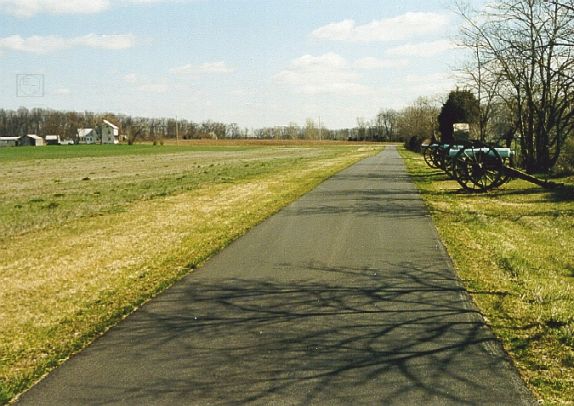
On East Cavalry Avenue. This modern view of the previous photograph was taken facing northeast in 2002.
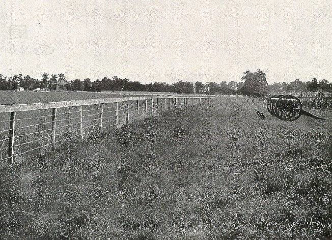
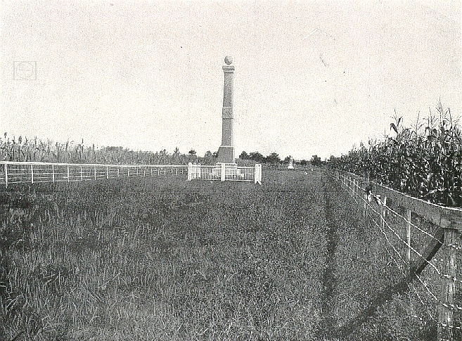
View #4: East Cavalry Field, Cavalry Shaft. This view was taken facing northeast in 1901.
While not a paved road, the grassy path leading to the monument is called Custer Ave". This modern view of the previous photograph was taken facing northeast in 2004.
Purchase all the photographs from the Gettysburg National Military Park Commission Reports on this CD.
To see other posts by Gettysburg Licensed Battlefield Guides, click here.